


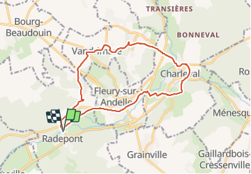
20121020-Radepont

doudet
Gebruiker

Lengte
14,4 km

Max. hoogte
132 m

Positief hoogteverschil
280 m
Km-Effort
18,2 km

Min. hoogte
22 m

Negatief hoogteverschil
279 m
Boucle
Ja
Datum van aanmaak :
2019-07-02 07:11:37.837
Laatste wijziging :
2019-07-02 07:11:37.837
--
Moeilijkheid : Onbekend

Gratisgps-wandelapplicatie
 SityTrail
IGN / Geografische instituten
SityTrail Plus
De wereld gaat voor u open
Over ons
Tocht Stappen van 14,4 km beschikbaar op Normandië, Eure, Radepont. Deze tocht wordt voorgesteld door doudet.
Plaatsbepaling
Land:
France
Regio :
Normandië
Departement/Provincie :
Eure
Gemeente :
Radepont
Locatie:
Unknown
Vertrek:(Dec)
Vertrek:(UTM)
378468 ; 5468092 (31U) N.
Opmerkingen