


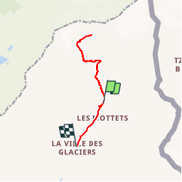

17,9 km | 27 km-effort

Gebruiker


Gratisgps-wandelapplicatie
 SityTrail
IGN / Geografische instituten
SityTrail World
De wereld gaat voor u open
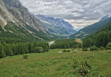
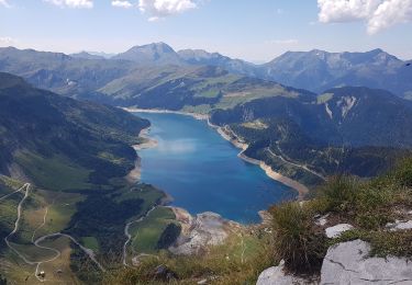
Tocht Stappen van 11,4 km beschikbaar op Auvergne-Rhône-Alpes, Savoie, Bourg-Saint-Maurice. Deze tocht wordt voorgesteld door BernardThiry.
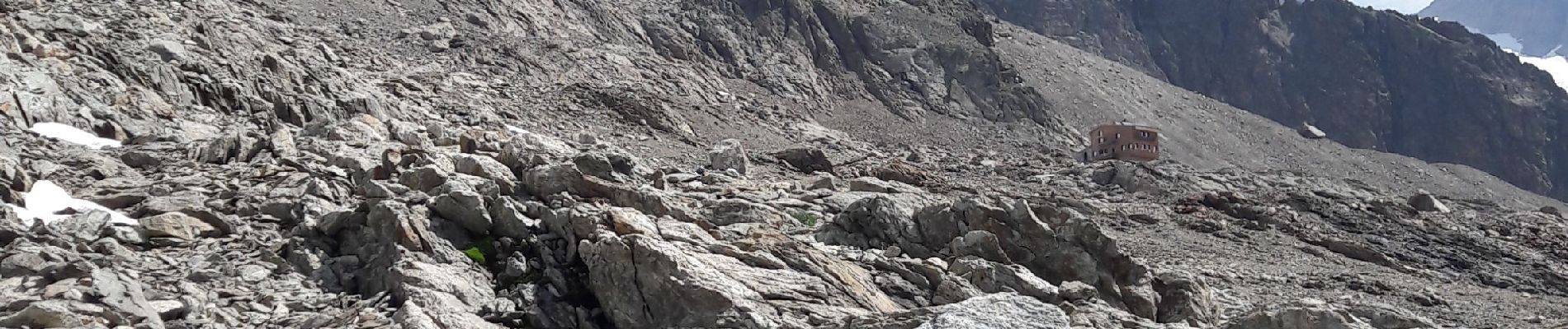
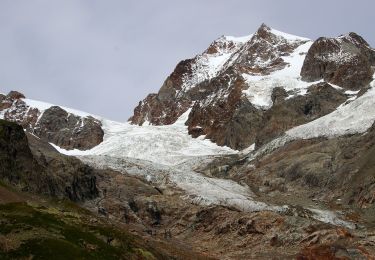
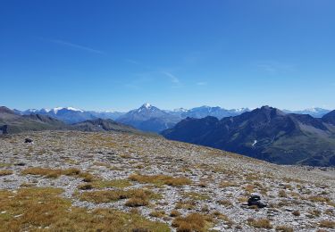
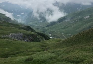
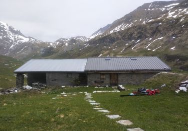
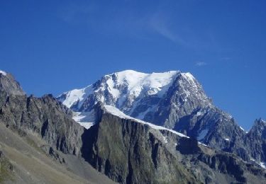
magnifique balade monter jusqu'au refuge très belle vue des glaciers et retour magnifique balade monter jusqu'au refuge très belle vue des glaciers et retour


Te voet
Te voet
Stappen
Stappen
Ski randonnée
Te voet
Stappen
Stappen
Stappen