


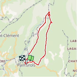


22 km | 32 km-effort

Gebruiker


Gratisgps-wandelapplicatie
 SityTrail
IGN / Geografische instituten
SityTrail World
De wereld gaat voor u open
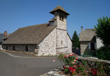
Tocht Stappen van 13,7 km beschikbaar op Auvergne-Rhône-Alpes, Cantal, Pailherols. Deze tocht wordt voorgesteld door tracegps.
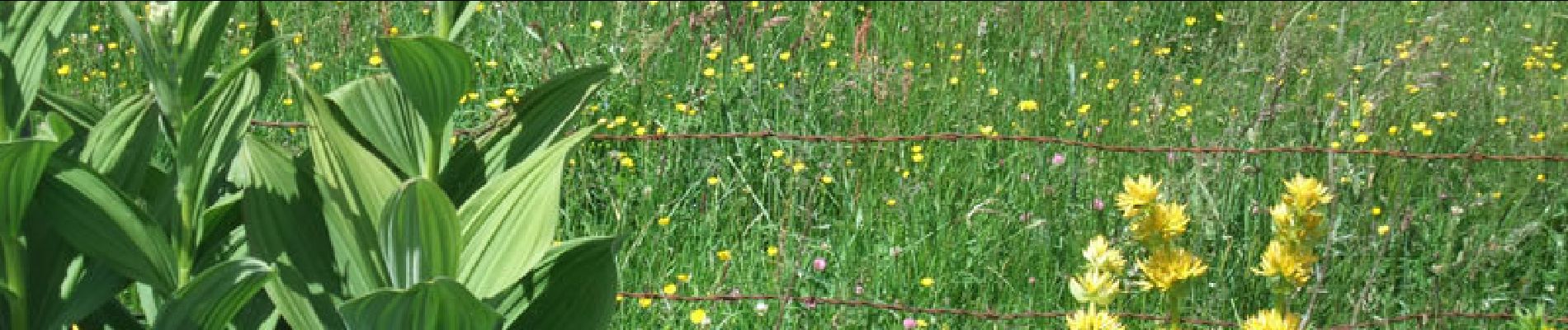
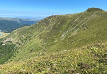
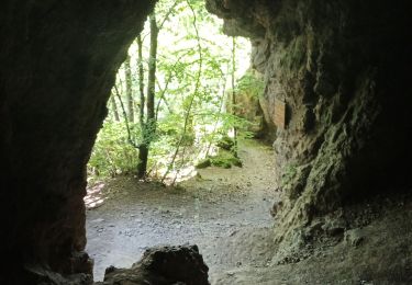
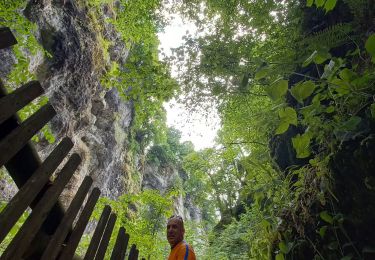
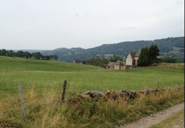
Un beau petit itinéraire pour découvrir les montagnes du Cantal et reconnaitre la gentiane. Ses feuilles sont opposées et sa fleur est jaune. Il ne faut pas la confondre avec le vératre qui est nocif, dont la fleur est blanche et surtout dont les feuilles sont alternées.


Stappen
Stappen
Trail
Stappen
Stappen
Stappen

Stappen
Stappen
Stappen