


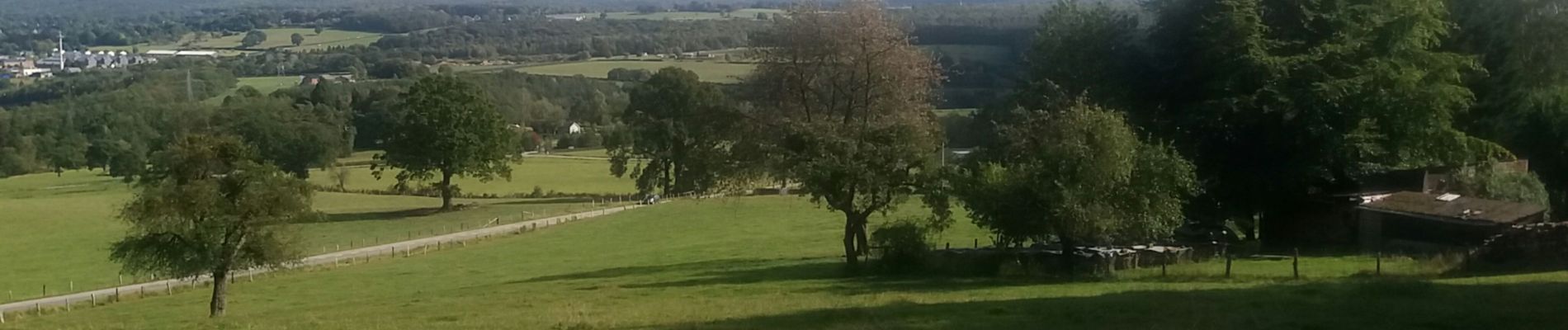
marteau . maquisart . la reid . winamplanche . marteau

stef789
Gebruiker GUIDE
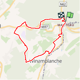

Lengte
8 km

Max. hoogte
380 m

Positief hoogteverschil
213 m
Km-Effort
10,8 km

Min. hoogte
220 m

Negatief hoogteverschil
219 m
Boucle
Ja
Datum van aanmaak :
2019-09-22 12:49:34.386
Laatste wijziging :
2019-09-22 16:24:26.862
2h28
Moeilijkheid : Heel gemakkelijk

Gratisgps-wandelapplicatie
 SityTrail
IGN / Geografische instituten
SityTrail Plus
De wereld gaat voor u open
Over ons
Tocht Stappen van 8 km beschikbaar op Wallonië, Luik, Theux. Deze tocht wordt voorgesteld door stef789.
Foto's


Plaatsbepaling
Land:
Belgium
Regio :
Wallonië
Departement/Provincie :
Luik
Gemeente :
Theux
Locatie:
La Reid
Vertrek:(Dec)
Vertrek:(UTM)
700780 ; 5597031 (31U) N.
Opmerkingen