


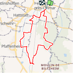

11,7 km | 17,7 km-effort


Gebruiker


Gratisgps-wandelapplicatie
 SityTrail
IGN / Geografische instituten
SityTrail World
De wereld gaat voor u open
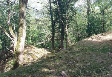
Tocht Andere activiteiten van 17,5 km beschikbaar op Grand Est, Haut-Rhin, Herrlisheim-près-Colmar. Deze tocht wordt voorgesteld door staubalex.
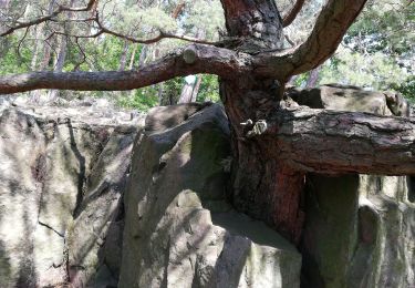
Stappen
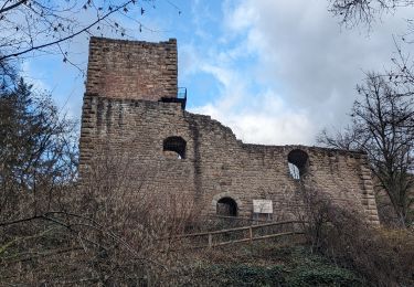
Stappen

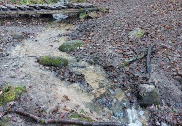
Stappen
Stappen
Stappen
Stappen
Stappen
Stappen
Stappen