


meuse . bernalmont . fond des tawes . citadelle . bueren . impasse ursulines

stef789
Gebruiker GUIDE
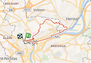

Lengte
14,4 km

Max. hoogte
164 m

Positief hoogteverschil
247 m
Km-Effort
17,7 km

Min. hoogte
56 m

Negatief hoogteverschil
241 m
Boucle
Ja
Datum van aanmaak :
2020-04-25 12:56:06.463
Laatste wijziging :
2020-04-25 16:41:32.3
3h04
Moeilijkheid : Heel gemakkelijk

Gratisgps-wandelapplicatie
 SityTrail
IGN / Geografische instituten
SityTrail Plus
De wereld gaat voor u open
Over ons
Tocht Stappen van 14,4 km beschikbaar op Wallonië, Luik, Luik. Deze tocht wordt voorgesteld door stef789.
Plaatsbepaling
Land:
Belgium
Regio :
Wallonië
Departement/Provincie :
Luik
Gemeente :
Luik
Locatie:
Glain
Vertrek:(Dec)
Vertrek:(UTM)
681394 ; 5613555 (31U) N.
Opmerkingen