


vtt thury circuit 5

mouss65
Gebruiker


Lengte
30 km

Max. hoogte
275 m

Positief hoogteverschil
667 m
Km-Effort
39 km

Min. hoogte
23 m

Negatief hoogteverschil
669 m
Boucle
Ja
Datum van aanmaak :
2020-06-01 08:24:47.677
Laatste wijziging :
2020-06-02 05:38:15.79
3h03
Moeilijkheid : Moeilijk

Gratisgps-wandelapplicatie
 SityTrail
IGN / Geografische instituten
SityTrail Plus
De wereld gaat voor u open
Over ons
Tocht Mountainbike van 30 km beschikbaar op Normandië, Calvados, Le Hom. Deze tocht wordt voorgesteld door mouss65.
Beschrijving
Un grand classique au départ de la base de Kayak de Thury Harcourt.
Circuit n°5 du topoguide site labellisé ffc.
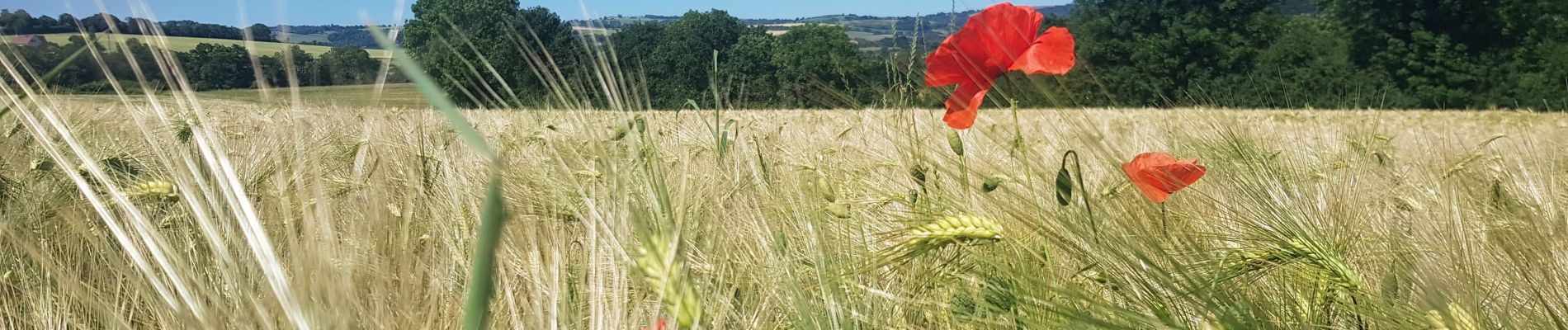
Foto's


Plaatsbepaling
Land:
France
Regio :
Normandië
Departement/Provincie :
Calvados
Gemeente :
Le Hom
Locatie:
Thury-Harcourt
Vertrek:(Dec)
Vertrek:(UTM)
684214 ; 5429153 (30U) N.
Opmerkingen