


Beaumesnil

werth
Gebruiker
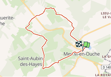

Lengte
8,6 km

Max. hoogte
174 m

Positief hoogteverschil
107 m
Km-Effort
10 km

Min. hoogte
130 m

Negatief hoogteverschil
108 m
Boucle
Ja
Datum van aanmaak :
2020-06-09 06:55:18.771
Laatste wijziging :
2020-06-09 09:17:09.982
2h20
Moeilijkheid : Gemakkelijk

Gratisgps-wandelapplicatie
 SityTrail
IGN / Geografische instituten
SityTrail Plus
De wereld gaat voor u open
Over ons
Tocht Stappen van 8,6 km beschikbaar op Normandië, Eure, Mesnil-en-Ouche. Deze tocht wordt voorgesteld door werth.
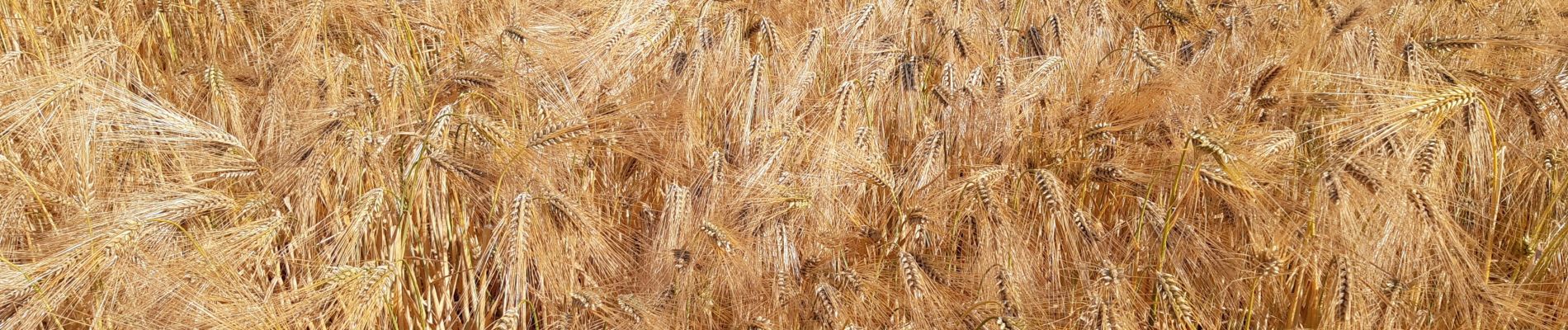
Foto's

Plaatsbepaling
Land:
France
Regio :
Normandië
Departement/Provincie :
Eure
Gemeente :
Mesnil-en-Ouche
Locatie:
Unknown
Vertrek:(Dec)
Vertrek:(UTM)
332350 ; 5431366 (31U) N.
Opmerkingen