


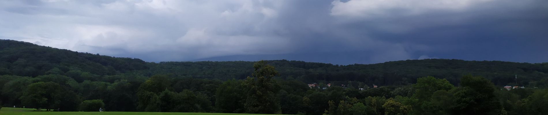
marche aléatoire sous l'orage

Arnaud Dejean
Gebruiker
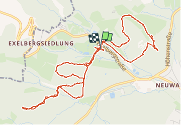

Lengte
7,3 km

Max. hoogte
360 m

Positief hoogteverschil
173 m
Km-Effort
9,6 km

Min. hoogte
287 m

Negatief hoogteverschil
173 m
Boucle
Ja
Datum van aanmaak :
2020-07-17 10:42:50.64
Laatste wijziging :
2020-07-17 13:01:56.415
1h55
Moeilijkheid : Gemakkelijk

Gratisgps-wandelapplicatie
 SityTrail
IGN / Geografische instituten
SityTrail Plus
De wereld gaat voor u open
Over ons
Tocht Stappen van 7,3 km beschikbaar op Wenen, Onbekend, Onbekend. Deze tocht wordt voorgesteld door Arnaud Dejean.
Foto's


Plaatsbepaling
Land:
Austria
Regio :
Wenen
Departement/Provincie :
Onbekend
Gemeente :
Onbekend
Locatie:
Hernals
Vertrek:(Dec)
Vertrek:(UTM)
594271 ; 5344178 (33U) N.
Opmerkingen