


Vienne

Arnaud Dejean
Gebruiker
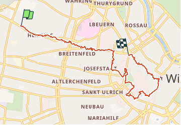

Lengte
9,2 km

Max. hoogte
209 m

Positief hoogteverschil
86 m
Km-Effort
10,4 km

Min. hoogte
173 m

Negatief hoogteverschil
116 m
Boucle
Neen
Datum van aanmaak :
2020-07-19 07:31:45.709
Laatste wijziging :
2020-07-19 12:03:43.378
4h05
Moeilijkheid : Gemakkelijk

Gratisgps-wandelapplicatie
 SityTrail
IGN / Geografische instituten
SityTrail Plus
De wereld gaat voor u open
Over ons
Tocht Stappen van 9,2 km beschikbaar op Wenen, Onbekend, Onbekend. Deze tocht wordt voorgesteld door Arnaud Dejean.
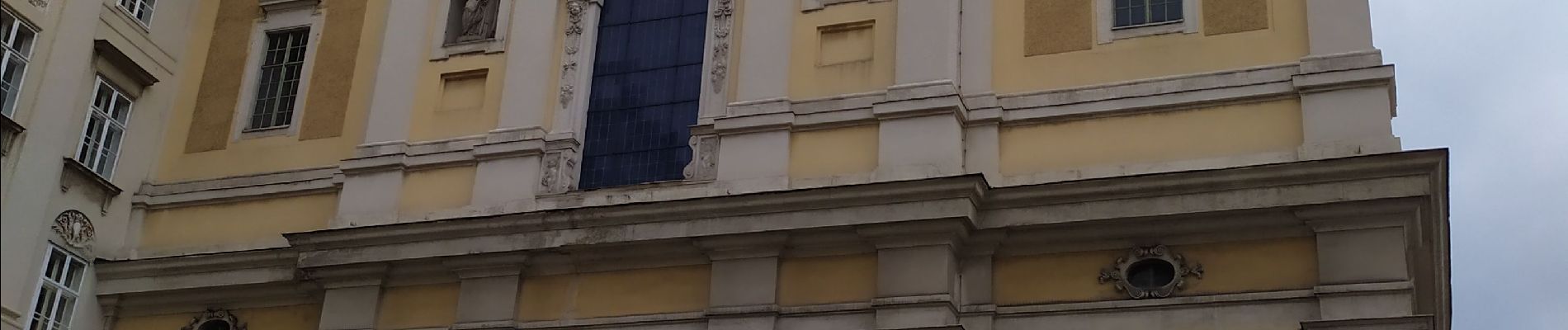
Foto's


Plaatsbepaling
Land:
Austria
Regio :
Wenen
Departement/Provincie :
Onbekend
Gemeente :
Onbekend
Locatie:
Hernals
Vertrek:(Dec)
Vertrek:(UTM)
598413 ; 5341650 (33U) N.
Opmerkingen