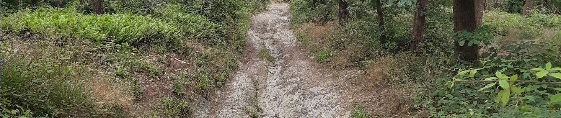
aywaille gare . raborive . chambralles . croix de septroux . aywaille gare

stef789
Gebruiker GUIDE
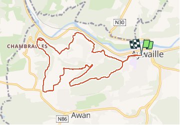

Lengte
10,4 km

Max. hoogte
292 m

Positief hoogteverschil
287 m
Km-Effort
14,2 km

Min. hoogte
124 m

Negatief hoogteverschil
286 m
Boucle
Ja
Datum van aanmaak :
2020-07-20 10:15:01.842
Laatste wijziging :
2020-07-20 13:01:56.006
2h16
Moeilijkheid : Heel gemakkelijk

Gratisgps-wandelapplicatie
 SityTrail
IGN / Geografische instituten
SityTrail Plus
De wereld gaat voor u open
Over ons
Tocht Stappen van 10,4 km beschikbaar op Wallonië, Luik, Aywaille. Deze tocht wordt voorgesteld door stef789.
Foto's


Plaatsbepaling
Land:
Belgium
Regio :
Wallonië
Departement/Provincie :
Luik
Gemeente :
Aywaille
Locatie:
Aywaille
Vertrek:(Dec)
Vertrek:(UTM)
689596 ; 5594637 (31U) N.
Opmerkingen