


VTT Aumont / Chamant

christianH
Gebruiker

Lengte
26 km

Max. hoogte
153 m

Positief hoogteverschil
281 m
Km-Effort
30 km

Min. hoogte
87 m

Negatief hoogteverschil
286 m
Boucle
Neen
Datum van aanmaak :
2020-07-25 07:54:25.276
Laatste wijziging :
2020-07-25 10:47:31.097
2h16
Moeilijkheid : Medium

Gratisgps-wandelapplicatie
 SityTrail
IGN / Geografische instituten
SityTrail Plus
De wereld gaat voor u open
Over ons
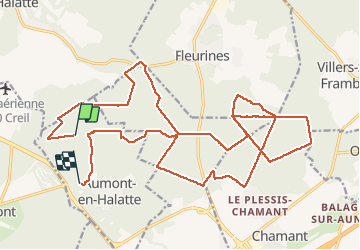
Tocht Mountainbike van 26 km beschikbaar op Hauts-de-France, Oise, Aumont-en-Halatte. Deze tocht wordt voorgesteld door christianH.
Plaatsbepaling
Land:
France
Regio :
Hauts-de-France
Departement/Provincie :
Oise
Gemeente :
Aumont-en-Halatte
Locatie:
Unknown
Vertrek:(Dec)
Vertrek:(UTM)
466731 ; 5454423 (31U) N.
Opmerkingen