


Caudebec-les- Elbeuf 12km

MichelRando7656
Gebruiker
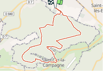

Lengte
10,7 km

Max. hoogte
138 m

Positief hoogteverschil
234 m
Km-Effort
13,8 km

Min. hoogte
34 m

Negatief hoogteverschil
232 m
Boucle
Ja
Datum van aanmaak :
2020-08-11 07:08:03.342
Laatste wijziging :
2020-08-11 11:05:11.699
3h56
Moeilijkheid : Medium

Gratisgps-wandelapplicatie
 SityTrail
IGN / Geografische instituten
SityTrail Plus
De wereld gaat voor u open
Over ons
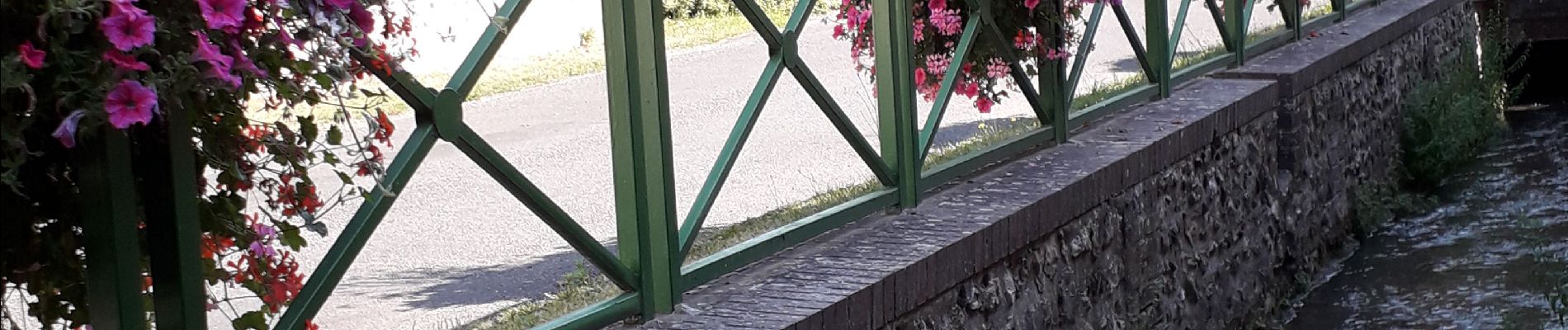
Tocht Stappen van 10,7 km beschikbaar op Normandië, Seine-Maritime, Caudebec-lès-Elbeuf. Deze tocht wordt voorgesteld door MichelRando7656.
Foto's


Plaatsbepaling
Land:
France
Regio :
Normandië
Departement/Provincie :
Seine-Maritime
Gemeente :
Caudebec-lès-Elbeuf
Locatie:
Unknown
Vertrek:(Dec)
Vertrek:(UTM)
355908 ; 5459852 (31U) N.
Opmerkingen
Superbe parcours en forêt.