


Ymare vers la tombe du Druide

MichelRando7656
Gebruiker
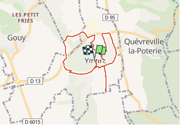

Lengte
8 km

Max. hoogte
146 m

Positief hoogteverschil
80 m
Km-Effort
9 km

Min. hoogte
91 m

Negatief hoogteverschil
79 m
Boucle
Ja
Datum van aanmaak :
2020-09-03 11:39:07.17
Laatste wijziging :
2020-09-03 15:21:46.308
3h41
Moeilijkheid : Medium

Gratisgps-wandelapplicatie
 SityTrail
IGN / Geografische instituten
SityTrail Plus
De wereld gaat voor u open
Over ons
Tocht Stappen van 8 km beschikbaar op Normandië, Seine-Maritime, Ymare. Deze tocht wordt voorgesteld door MichelRando7656.
Beschrijving
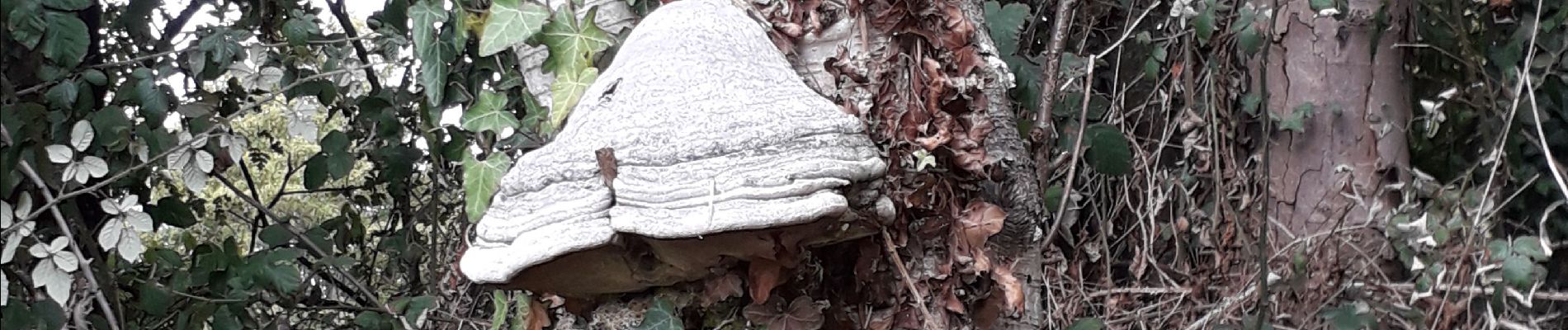
Beaucoup de petits sentiers autour du village . De nombreuses curiosités.
Foto's


Plaatsbepaling
Land:
France
Regio :
Normandië
Departement/Provincie :
Seine-Maritime
Gemeente :
Ymare
Locatie:
Unknown
Vertrek:(Dec)
Vertrek:(UTM)
367422 ; 5467894 (31U) N.
Opmerkingen