


At the end vertel difficult

gossim2
Gebruiker
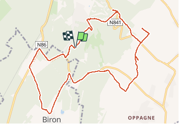

Lengte
12,7 km

Max. hoogte
295 m

Positief hoogteverschil
211 m
Km-Effort
15,6 km

Min. hoogte
191 m

Negatief hoogteverschil
212 m
Boucle
Ja
Datum van aanmaak :
2020-10-31 10:08:00.0
Laatste wijziging :
2020-10-31 14:04:54.144
3h56
Moeilijkheid : Moeilijk

Gratisgps-wandelapplicatie
 SityTrail
IGN / Geografische instituten
SityTrail Plus
De wereld gaat voor u open
Over ons
Tocht Stappen van 12,7 km beschikbaar op Wallonië, Luxemburg, Durbuy. Deze tocht wordt voorgesteld door gossim2.
Beschrijving
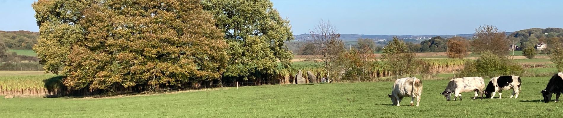
Walk
Foto's


Plaatsbepaling
Land:
Belgium
Regio :
Wallonië
Departement/Provincie :
Luxemburg
Gemeente :
Durbuy
Locatie:
Barvaux
Vertrek:(Dec)
Vertrek:(UTM)
677328 ; 5577671 (31U) N.
Opmerkingen