


remouchamps kin aywaille via GR retour via ambleve

stef789
Gebruiker GUIDE
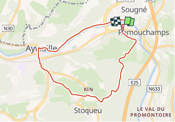

Lengte
8,1 km

Max. hoogte
292 m

Positief hoogteverschil
200 m
Km-Effort
10,8 km

Min. hoogte
118 m

Negatief hoogteverschil
209 m
Boucle
Ja
Datum van aanmaak :
2020-11-01 11:49:19.006
Laatste wijziging :
2020-11-01 14:30:23.8
2h40
Moeilijkheid : Gemakkelijk

Gratisgps-wandelapplicatie
 SityTrail
IGN / Geografische instituten
SityTrail Plus
De wereld gaat voor u open
Over ons
Tocht Stappen van 8,1 km beschikbaar op Wallonië, Luik, Aywaille. Deze tocht wordt voorgesteld door stef789.
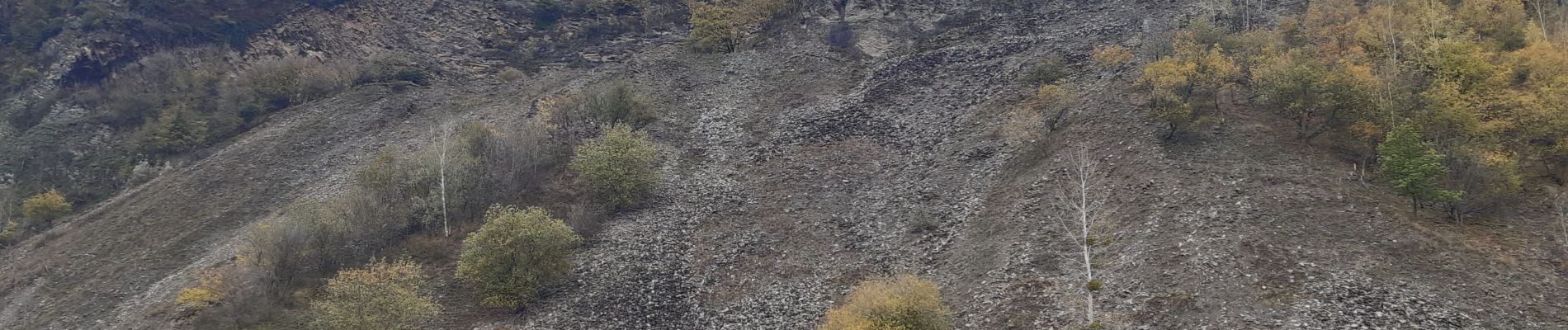
Foto's


Plaatsbepaling
Land:
Belgium
Regio :
Wallonië
Departement/Provincie :
Luik
Gemeente :
Aywaille
Locatie:
Sougné-Remouchamps
Vertrek:(Dec)
Vertrek:(UTM)
691926 ; 5595434 (31U) N.
Opmerkingen