


comblain-au-pont, pont de sçay . oneux . sur lawé . retour le long de l ourthe

stef789
Gebruiker GUIDE
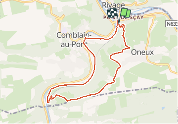

Lengte
8,5 km

Max. hoogte
240 m

Positief hoogteverschil
169 m
Km-Effort
10,8 km

Min. hoogte
98 m

Negatief hoogteverschil
177 m
Boucle
Ja
Datum van aanmaak :
2020-11-25 13:35:38.164
Laatste wijziging :
2020-11-25 16:16:41.985
2h40
Moeilijkheid : Heel gemakkelijk

Gratisgps-wandelapplicatie
 SityTrail
IGN / Geografische instituten
SityTrail Plus
De wereld gaat voor u open
Over ons
Tocht Stappen van 8,5 km beschikbaar op Wallonië, Luik, Comblain-au-Pont. Deze tocht wordt voorgesteld door stef789.
Foto's


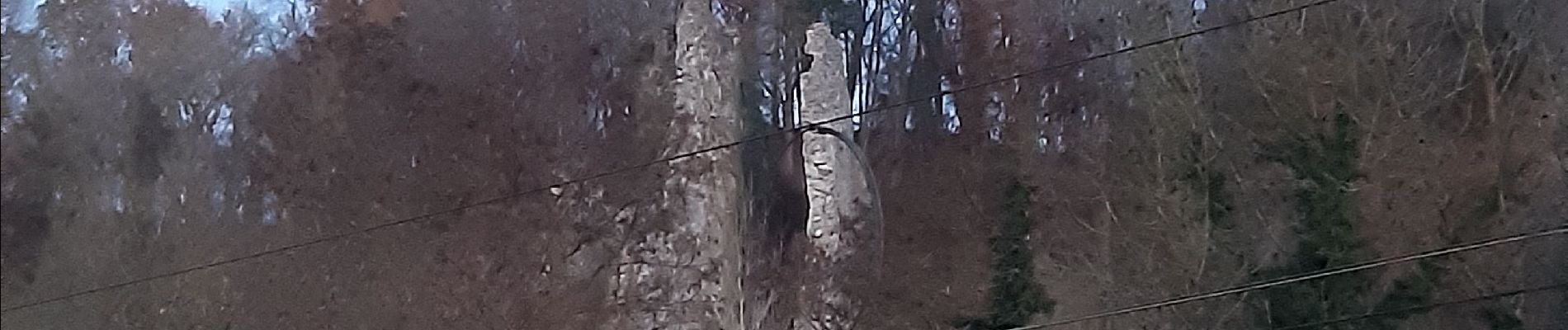
22 fotos in totaal. Klik op een foto om ze allemaal in de galerij weer te geven.
Plaatsbepaling
Land:
Belgium
Regio :
Wallonië
Departement/Provincie :
Luik
Gemeente :
Comblain-au-Pont
Locatie:
Comblain-au-Pont
Vertrek:(Dec)
Vertrek:(UTM)
683793 ; 5595097 (31U) N.
Opmerkingen