


anthisnes ac 1

colsonandre
Gebruiker


Lengte
7,4 km

Max. hoogte
289 m

Positief hoogteverschil
151 m
Km-Effort
9,4 km

Min. hoogte
239 m

Negatief hoogteverschil
155 m
Boucle
Ja
Datum van aanmaak :
2020-12-26 08:12:08.766
Laatste wijziging :
2020-12-29 19:17:42.673
2h19
Moeilijkheid : Gemakkelijk

Gratisgps-wandelapplicatie
 SityTrail
IGN / Geografische instituten
SityTrail Plus
De wereld gaat voor u open
Over ons
Tocht Stappen van 7,4 km beschikbaar op Wallonië, Luik, Anthisnes. Deze tocht wordt voorgesteld door colsonandre.
Beschrijving
très belle
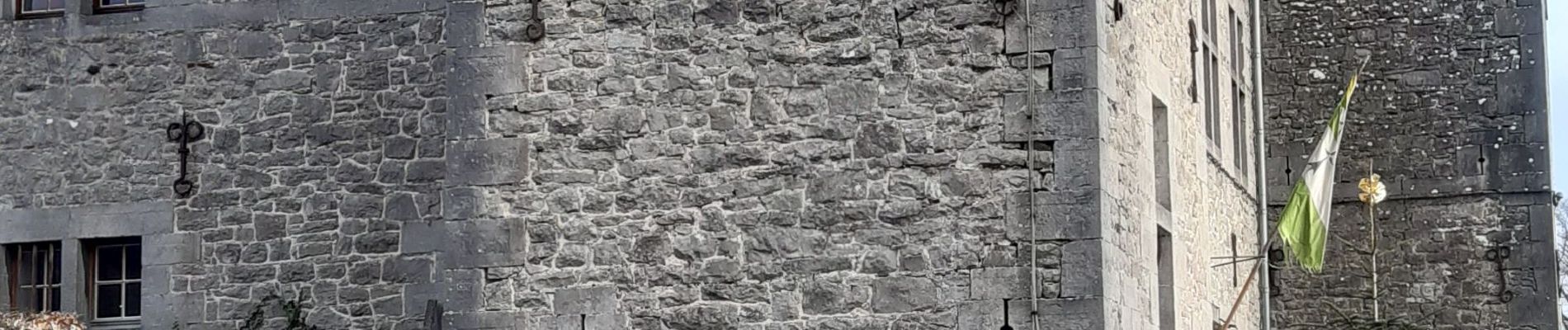
Foto's


Plaatsbepaling
Land:
Belgium
Regio :
Wallonië
Departement/Provincie :
Luik
Gemeente :
Anthisnes
Locatie:
Anthisnes
Vertrek:(Dec)
Vertrek:(UTM)
678739 ; 5595244 (31U) N.
Opmerkingen