Tocht Stappen Saint-Raphaël - Tour du pic de l'ours - Photo
 domi06
domi06

Gebruiker

© OpenStreetMap contributors
Lengte
Lengte
14,7 km
Max. hoogte
Max. hoogte
480 m
Positief hoogteverschil
581 m
Km-Effort
Km-Effort  
22 km
Min. hoogte
Min. hoogte
27 m
Negatief hoogteverschil
587 m
Boucle
Boucle
Ja
Datum van aanmaak :
2021-02-18 08:14:02.059
Laatste wijziging :
2021-02-27 16:54:56.344

(0 Bericht)

Stappen
Stappen
5h45
Moeilijkheid : Medium

Scan deze QR-code om de tocht te openen in de SityTrail-applicatie

Gratisgps-wandelapplicatie

Logo SityTrail SityTrail

IGN / Geografische instituten

SityTrail uit de App Store downloaden SityTrail uit Google Play downloaden

Logo SityTrail SityTrail Plus

De wereld gaat voor u open

SityTrail uit de App Store downloaden SityTrail uit Google Play downloaden SityTrail op Huawei AppGallery downloaden

Over ons

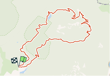
Tocht Stappen van 14,7 km beschikbaar op Provence-Alpes-Côte d'Azur, Var, Saint-Raphaël. Deze tocht wordt voorgesteld door domi06.

Beschrijving

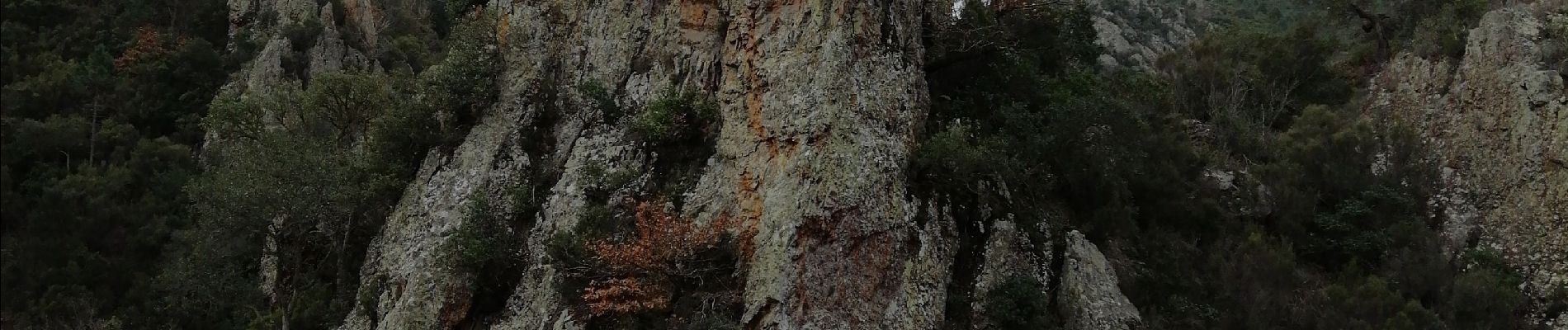
Belle randonnée dans l'Estérel au départ du Col de Belle Barbe direction col Aubert , le vallon du Malinfernet, le vallon de la dent de l'Ours, le Pic de l'Ours, le col des Lentisques puis retour par le vallon des Lentisques.
Par beau temps superbe point de vue depuis les hauteurs sur la baie de Cannes.
Cotation :   Effort  E2/5    Technicité T2/5    Risque R2/5

Hoogteprofiel

Foto's

Plaatsbepaling

Land:
France
Regio :
Provence-Alpes-Côte d'Azur
Departement/Provincie :
Var
Gemeente :
Saint-Raphaël
Locatie:
Unknown
Vertrek:(UTM)
327592 ; 4813772 (32T) N.


Sluiten
Mijn abonnementen