


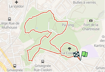

11,6 km | 16,5 km-effort


Gebruiker


Gratisgps-wandelapplicatie
 SityTrail
IGN / Geografische instituten
SityTrail World
De wereld gaat voor u open
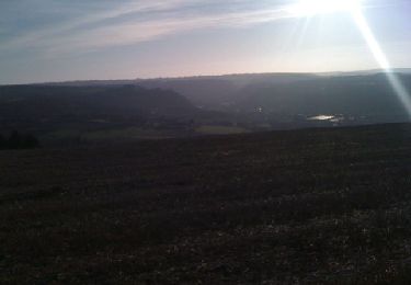
Tocht Stappen van 3 km beschikbaar op Wallonië, Luik, Luik. Deze tocht wordt voorgesteld door Mudry.
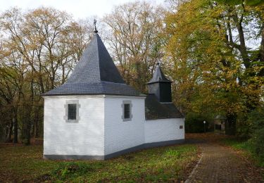
Ne pas hésiter à aller faire un tour pour visiter les anciens bâtiments du fort de la Chartreuse. (Tant qu'ils sont encore là)
Extra pour les amateurs d'urbex .


Stappen

Stappen

Stappen

Stappen
Stappen
Stappen

Stappen
Stappen
Stappen
Balade très plaisante. Ne pas hésiter à faire un petit tour par les bâtiments si on aime l'urbex