


marche- fonds des vaux-marche

colsonandre
Gebruiker


Lengte
6,5 km

Max. hoogte
273 m

Positief hoogteverschil
92 m
Km-Effort
7,7 km

Min. hoogte
202 m

Negatief hoogteverschil
92 m
Boucle
Ja
Datum van aanmaak :
2021-03-10 07:46:22.007
Laatste wijziging :
2021-03-10 10:02:58.803
2h16
Moeilijkheid : Gemakkelijk

Gratisgps-wandelapplicatie
 SityTrail
IGN / Geografische instituten
SityTrail Plus
De wereld gaat voor u open
Over ons
Tocht Stappen van 6,5 km beschikbaar op Wallonië, Luxemburg, Marche-en-Famenne. Deze tocht wordt voorgesteld door colsonandre.
Beschrijving
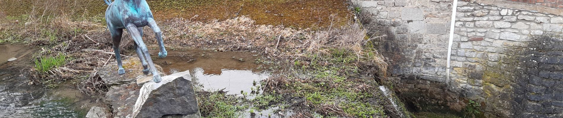
très belle
Foto's


Plaatsbepaling
Land:
Belgium
Regio :
Wallonië
Departement/Provincie :
Luxemburg
Gemeente :
Marche-en-Famenne
Locatie:
Marche-en-Famenne
Vertrek:(Dec)
Vertrek:(UTM)
667120 ; 5567195 (31U) N.
Opmerkingen