


La Celle St Cloud depuis Viroflay

c.chehere
Gebruiker
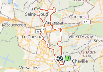

Lengte
16,9 km

Max. hoogte
184 m

Positief hoogteverschil
286 m
Km-Effort
21 km

Min. hoogte
114 m

Negatief hoogteverschil
285 m
Boucle
Ja
Datum van aanmaak :
2021-05-18 05:52:19.611
Laatste wijziging :
2021-05-18 13:05:51.142
3h43
Moeilijkheid : Gemakkelijk

Gratisgps-wandelapplicatie
 SityTrail
IGN / Geografische instituten
SityTrail Plus
De wereld gaat voor u open
Over ons
Tocht Stappen van 16,9 km beschikbaar op Île-de-France, Yvelines, Viroflay. Deze tocht wordt voorgesteld door c.chehere.
Beschrijving
Depuis Viroflay RD T6 ou RER L .
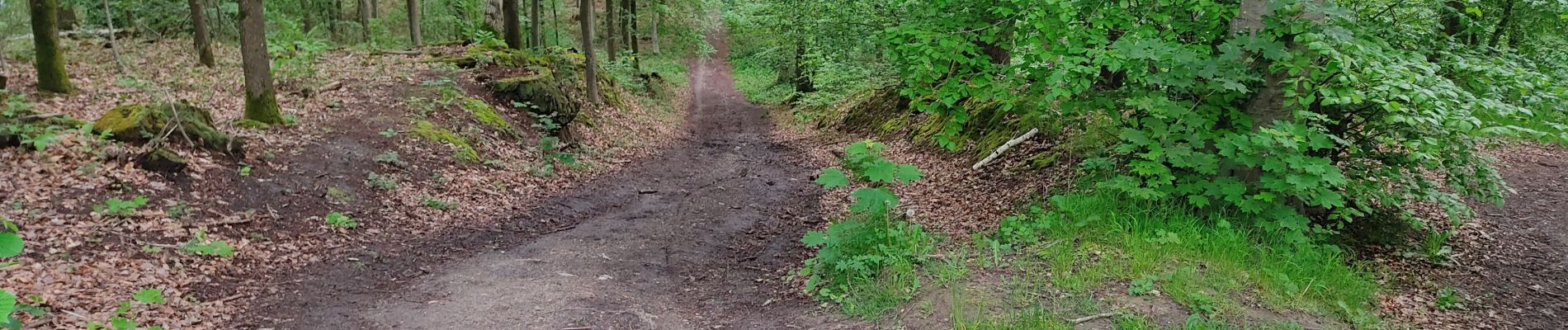
Belle rando en majeure partie forestière.
Pas de difficulté particulière, quelques montées pas bien méchantes
Foto's


Plaatsbepaling
Land:
France
Regio :
Île-de-France
Departement/Provincie :
Yvelines
Gemeente :
Viroflay
Locatie:
Unknown
Vertrek:(Dec)
Vertrek:(UTM)
438971 ; 5406199 (31U) N.
Opmerkingen