


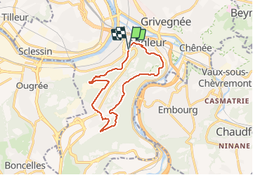
montee par stvlaurent descente par st jacque Streupas. variante tout bois

stef789
Gebruiker GUIDE

Lengte
11,7 km

Max. hoogte
242 m

Positief hoogteverschil
281 m
Km-Effort
15,5 km

Min. hoogte
72 m

Negatief hoogteverschil
284 m
Boucle
Ja
Datum van aanmaak :
2021-05-22 09:28:07.745
Laatste wijziging :
2021-05-22 12:53:46.509
3h04
Moeilijkheid : Heel gemakkelijk

Gratisgps-wandelapplicatie
 SityTrail
IGN / Geografische instituten
SityTrail Plus
De wereld gaat voor u open
Over ons
Tocht Stappen van 11,7 km beschikbaar op Wallonië, Luik, Luik. Deze tocht wordt voorgesteld door stef789.
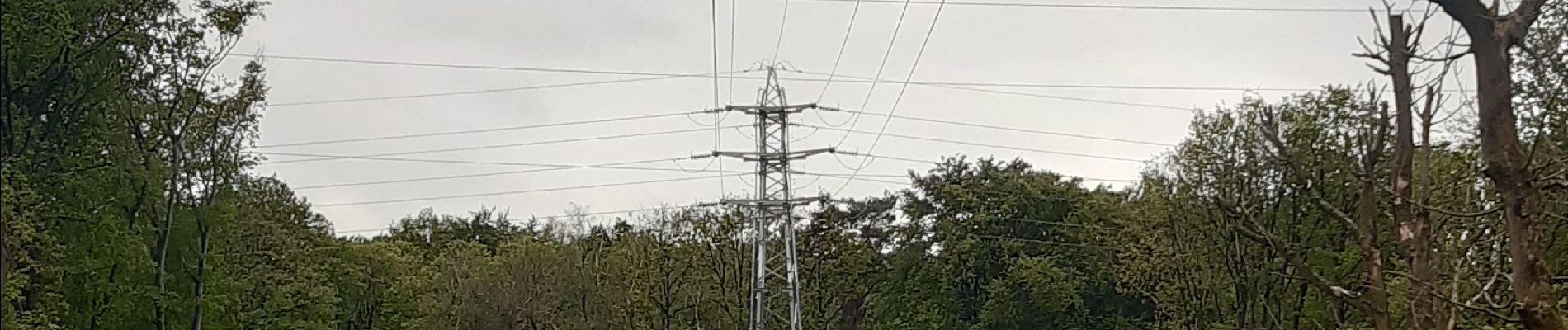
Foto's


Plaatsbepaling
Land:
Belgium
Regio :
Wallonië
Departement/Provincie :
Luik
Gemeente :
Luik
Locatie:
Angleur
Vertrek:(Dec)
Vertrek:(UTM)
682990 ; 5609684 (31U) N.
Opmerkingen