


PIERĹAS FFRS

Daniel Benteux
Gebruiker
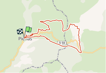

Lengte
10,1 km

Max. hoogte
1584 m

Positief hoogteverschil
516 m
Km-Effort
17 km

Min. hoogte
1078 m

Negatief hoogteverschil
516 m
Boucle
Ja
Datum van aanmaak :
2021-06-17 06:22:52.995
Laatste wijziging :
2021-06-17 17:22:05.262
3h40
Moeilijkheid : Medium

Gratisgps-wandelapplicatie
 SityTrail
IGN / Geografische instituten
SityTrail Plus
De wereld gaat voor u open
Over ons
Tocht Stappen van 10,1 km beschikbaar op Provence-Alpes-Côte d'Azur, Alpes-Maritimes, Pierlas. Deze tocht wordt voorgesteld door Daniel Benteux.
Beschrijving
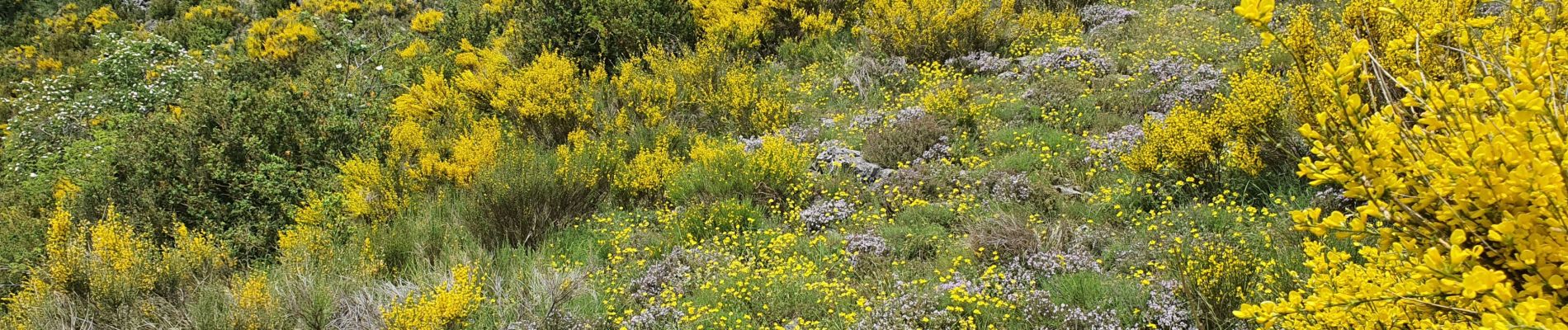
marche
Foto's


Plaatsbepaling
Land:
France
Regio :
Provence-Alpes-Côte d'Azur
Departement/Provincie :
Alpes-Maritimes
Gemeente :
Pierlas
Locatie:
Unknown
Vertrek:(Dec)
Vertrek:(UTM)
342571 ; 4877362 (32T) N.
Opmerkingen