


11,1 km | 16,6 km-effort

Gebruiker


Gratisgps-wandelapplicatie
 SityTrail
IGN / Geografische instituten
SityTrail World
De wereld gaat voor u open
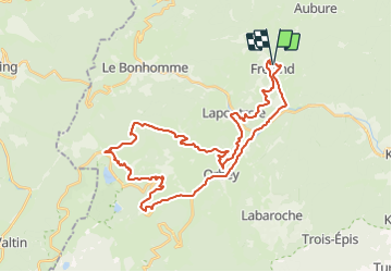
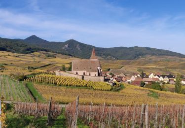
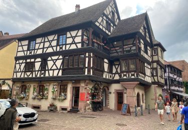
Tocht Mountainbike van 39 km beschikbaar op Grand Est, Haut-Rhin, Fréland. Deze tocht wordt voorgesteld door duchaine.nicolas.
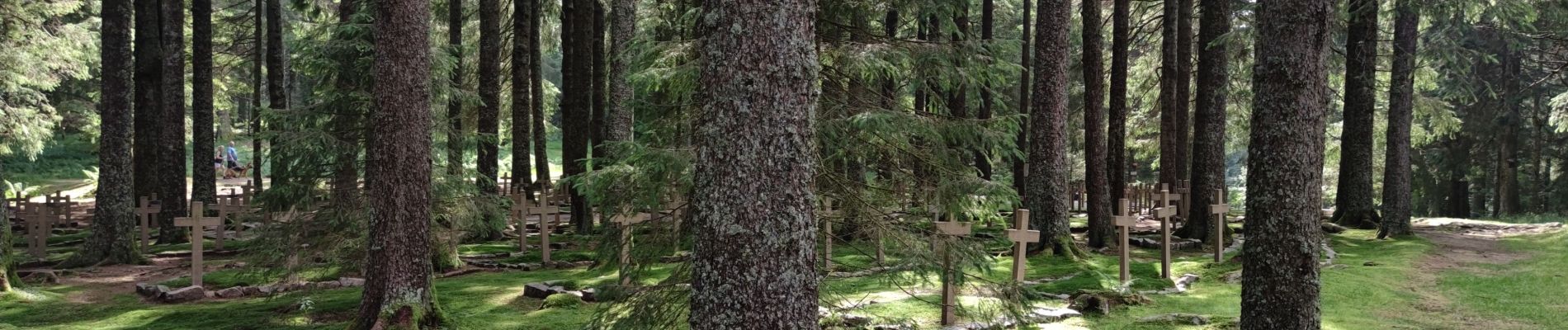
Via Lapoutroie, Col de Bermont, Surcenord, Cimetière Duchesne
Retour Bocheney, Roche du Pin, La Chaume, Les Machielles, Pairis, Orbey


Stappen
Stappen
Paardrijden
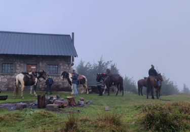
Paardrijden
Paardrijden

Stappen
Stappen
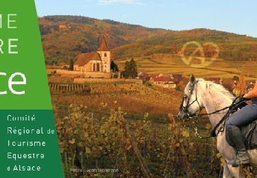
Paardrijden
Stappen