


32 km | 40 km-effort

Gebruiker


Gratisgps-wandelapplicatie
 SityTrail
IGN / Geografische instituten
SityTrail World
De wereld gaat voor u open
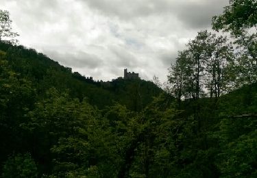
Tocht Stappen van 5,8 km beschikbaar op Occitanië, Aveyron, Villefranche-de-Rouergue. Deze tocht wordt voorgesteld door richardsimopons.
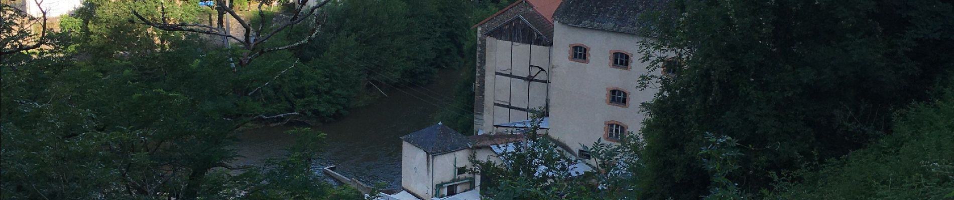
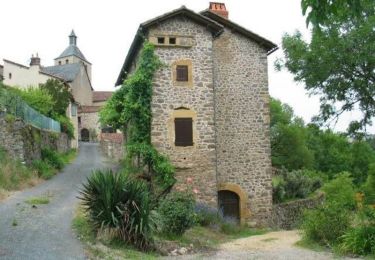
Le Calvaire et La Chapelle de Saint Jean d’Aigremont


Hybride fiets

Stappen
Wegfiets
Stappen
Fiets
Fiets
Mountainbike
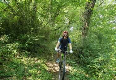
Mountainbike
Stappen