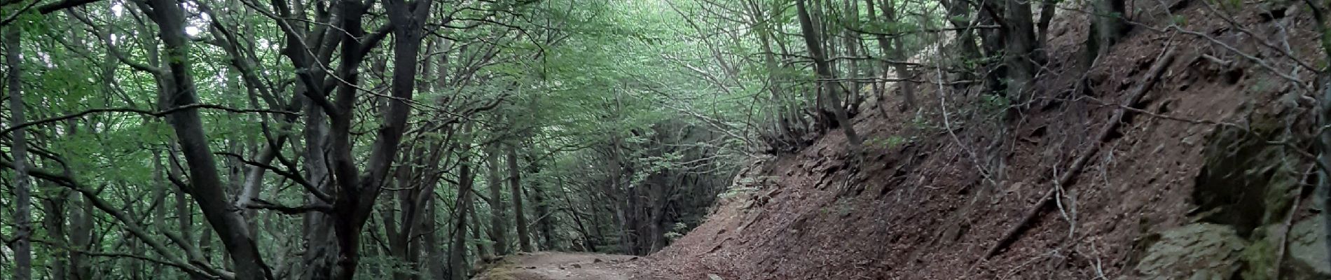
col de l ullat . puig d orella . puîg sant cristau . col de l ullat

stef789
Gebruiker GUIDE
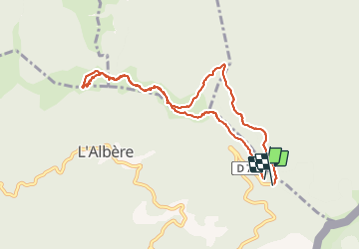

Lengte
10,2 km

Max. hoogte
1020 m

Positief hoogteverschil
308 m
Km-Effort
14,4 km

Min. hoogte
875 m

Negatief hoogteverschil
326 m
Boucle
Ja
Datum van aanmaak :
2021-07-23 11:32:42.808
Laatste wijziging :
2021-07-23 17:10:00.166
4h36
Moeilijkheid : Medium

Gratisgps-wandelapplicatie
 SityTrail
IGN / Geografische instituten
SityTrail Plus
De wereld gaat voor u open
Over ons
Tocht Stappen van 10,2 km beschikbaar op Occitanië, Pyrénées-Orientales, L'Albère. Deze tocht wordt voorgesteld door stef789.
Foto's


Plaatsbepaling
Land:
France
Regio :
Occitanië
Departement/Provincie :
Pyrénées-Orientales
Gemeente :
L'Albère
Locatie:
Unknown
Vertrek:(Dec)
Vertrek:(UTM)
493501 ; 4703064 (31T) N.
Opmerkingen