


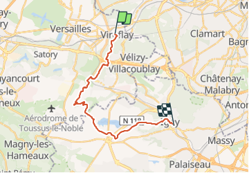
Le plateau de Saclay, de Viroflay à Igny

c.chehere
Gebruiker

Lengte
19,5 km

Max. hoogte
187 m

Positief hoogteverschil
254 m
Km-Effort
23 km

Min. hoogte
73 m

Negatief hoogteverschil
299 m
Boucle
Neen
Datum van aanmaak :
2021-07-31 06:41:00.94
Laatste wijziging :
2021-07-31 13:28:06.983
5h36
Moeilijkheid : Gemakkelijk

Gratisgps-wandelapplicatie
 SityTrail
IGN / Geografische instituten
SityTrail Plus
De wereld gaat voor u open
Over ons
Tocht Stappen van 19,5 km beschikbaar op Île-de-France, Yvelines, Viroflay. Deze tocht wordt voorgesteld door c.chehere.
Beschrijving
De Viroflay RD à la Gare d'Igny.
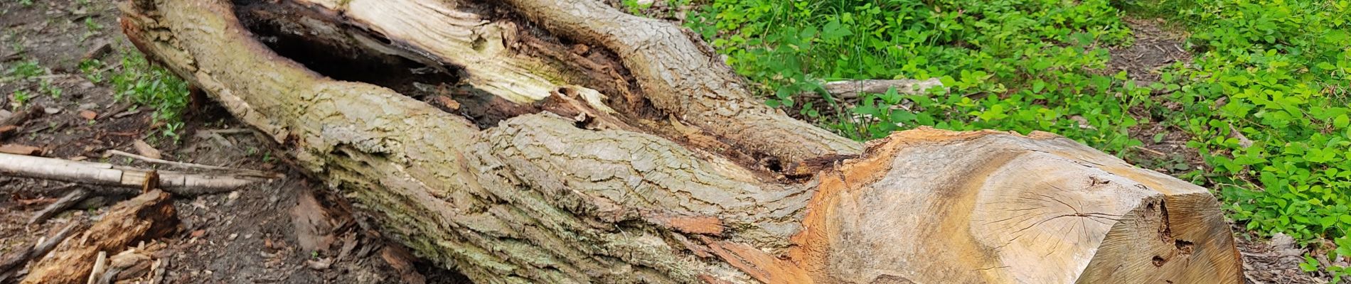
Foto's


Plaatsbepaling
Land:
France
Regio :
Île-de-France
Departement/Provincie :
Yvelines
Gemeente :
Viroflay
Locatie:
Unknown
Vertrek:(Dec)
Vertrek:(UTM)
439175 ; 5405530 (31U) N.
Opmerkingen