


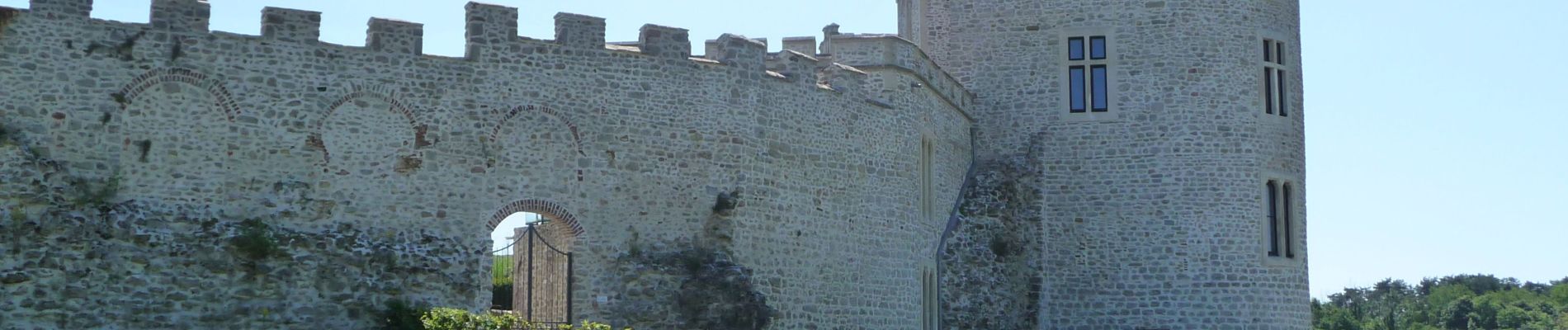
Wikiloc - Chateau d'Hardelot

Peter.vdbergh
Gebruiker GUIDE
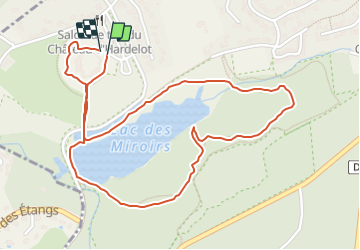

Lengte
2,6 km

Max. hoogte
34 m

Positief hoogteverschil
20 m
Km-Effort
2,9 km

Min. hoogte
21 m

Negatief hoogteverschil
24 m
Boucle
Ja
Datum van aanmaak :
2021-08-17 19:21:22.822
Laatste wijziging :
2021-08-17 19:25:54.924
1h02
Moeilijkheid : Heel gemakkelijk

Gratisgps-wandelapplicatie
 SityTrail
IGN / Geografische instituten
SityTrail Plus
De wereld gaat voor u open
Over ons
Tocht Te voet van 2,6 km beschikbaar op Hauts-de-France, Pas-de-Calais, Condette. Deze tocht wordt voorgesteld door Peter.vdbergh.
Foto's


Plaatsbepaling
Land:
France
Regio :
Hauts-de-France
Departement/Provincie :
Pas-de-Calais
Gemeente :
Condette
Locatie:
Unknown
Vertrek:(Dec)
Vertrek:(UTM)
401919 ; 5611366 (31U) N.
Opmerkingen