


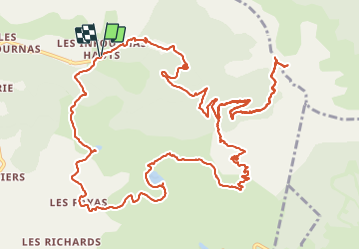

10,1 km | 16 km-effort

Gebruiker


Gratisgps-wandelapplicatie
 SityTrail
IGN / Geografische instituten
SityTrail World
De wereld gaat voor u open
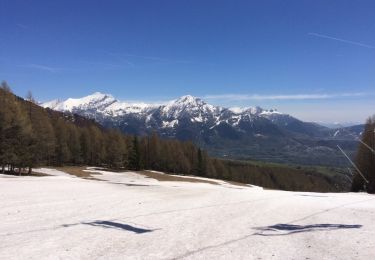
Tocht Stappen van 19,6 km beschikbaar op Provence-Alpes-Côte d'Azur, Hautes-Alpes, Saint-Bonnet-en-Champsaur. Deze tocht wordt voorgesteld door flip38.
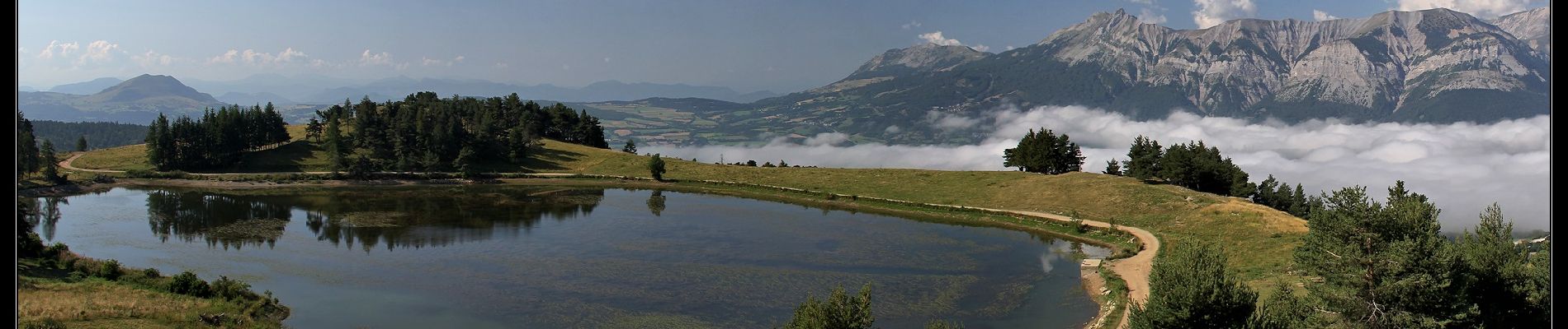
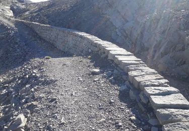
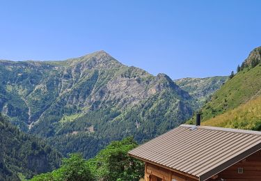
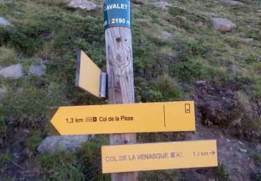
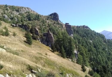
Belle boucle et sentiers agréables et bien tracés pour rejoindre ce col blotti sous le Pic Queyrel.
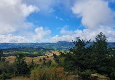
De jolis points de vues pendant la boucle.
D'autres informations sur mon site : http://surlessommets.blog.free.fr/


Stappen
Stappen
Stappen

Stappen

Stappen
Stappen
Stappen
Stappen
Stappen