


Ranpont

lucmarescot
Gebruiker

Lengte
24 km

Max. hoogte
885 m

Positief hoogteverschil
854 m
Km-Effort
37 km

Min. hoogte
198 m

Negatief hoogteverschil
1128 m
Boucle
Neen
Datum van aanmaak :
2021-09-13 14:00:32.0
Laatste wijziging :
2021-09-13 15:53:21.684
1h52
Moeilijkheid : Onbekend

Gratisgps-wandelapplicatie
 SityTrail
IGN / Geografische instituten
SityTrail Plus
De wereld gaat voor u open
Over ons
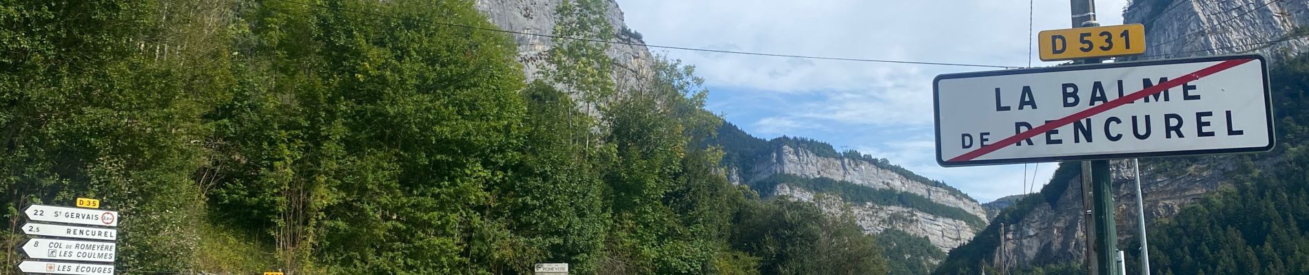
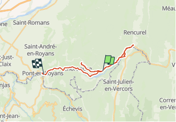
Tocht Mountainbike van 24 km beschikbaar op Auvergne-Rhône-Alpes, Isère, Choranche. Deze tocht wordt voorgesteld door lucmarescot.
Foto's

Plaatsbepaling
Land:
France
Regio :
Auvergne-Rhône-Alpes
Departement/Provincie :
Isère
Gemeente :
Choranche
Locatie:
Unknown
Vertrek:(Dec)
Vertrek:(UTM)
691086 ; 4992962 (31T) N.
Opmerkingen