


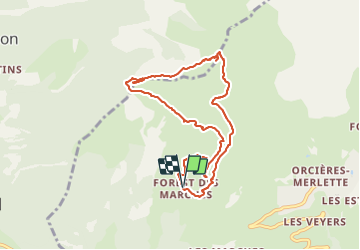

6,3 km | 9,9 km-effort

Gebruiker


Gratisgps-wandelapplicatie
 SityTrail
IGN / Geografische instituten
SityTrail World
De wereld gaat voor u open
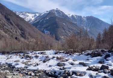
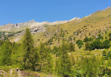
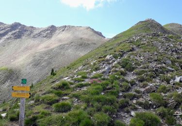
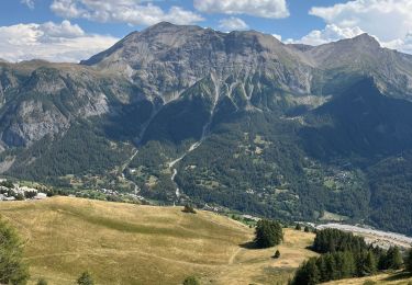
Tocht Stappen van 8,7 km beschikbaar op Provence-Alpes-Côte d'Azur, Hautes-Alpes, Orcières. Deze tocht wordt voorgesteld door PapouBertrand.
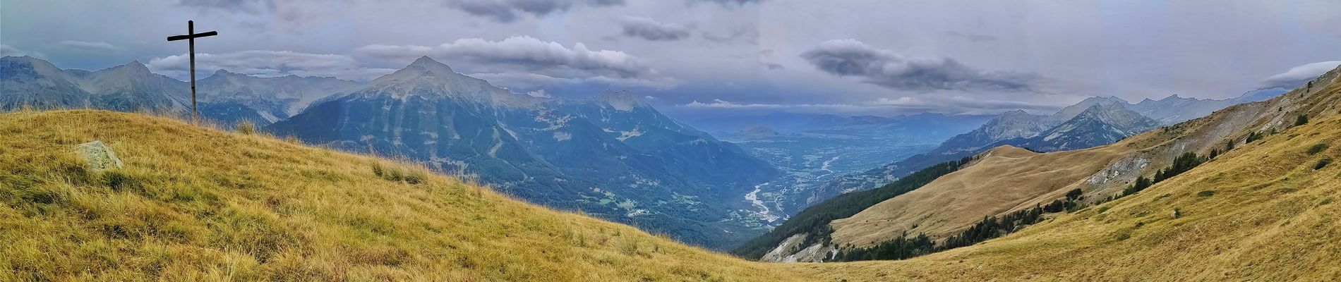
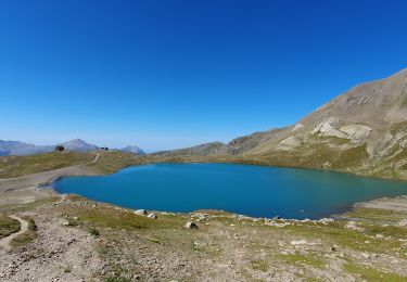
Randonnée Marche de 8,7 km, 600 m de dénivelé à découvrir à Orcières, Hautes-Alpes, Provence-Alpes-Côte d'Azur.


Stappen
Stappen
Stappen
Stappen
Stappen

Stappen
Stappen

Sneeuwschoenen
Stappen