


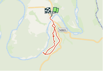

7,3 km | 10 km-effort


Randonnées du CGT GUIDE+


Gratisgps-wandelapplicatie
 SityTrail
IGN / Geografische instituten
SityTrail World
De wereld gaat voor u open
Tocht Te voet van 4,8 km beschikbaar op Wallonië, Luxemburg, Bouillon. Deze tocht wordt voorgesteld door Commissariat général au Tourisme.
Trail created by Pays de Bouillon en Ardenne.
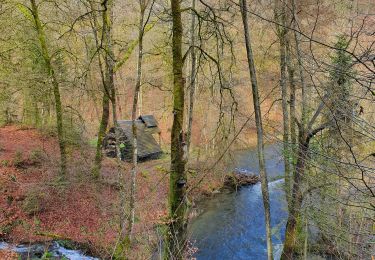
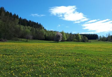
Een zeer mooie wandeling, verfraaid door de legende van de Rocher Lecomte met zijn prachtig uitzichtpunt op het dorp Dohan en het omringende landschap tot aan de heuvels van Noirefontaine. We lopen langs een bergkam en bredere paden. De Rocher des Clappes is een geologische curiositeit uit het quartair tijdperk en biedt een indrukwekkend uitzicht over de ongeschonden vallei.


Andere activiteiten
Andere activiteiten

Te voet

Te voet
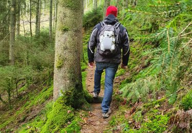
Te voet
Te voet

Te voet

Te voet
Stappen