


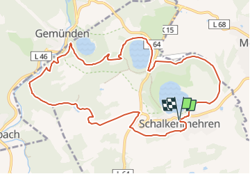

29 km | 40 km-effort

Tous les sentiers balisés d’Europe PRO


Gratisgps-wandelapplicatie
 SityTrail
IGN / Geografische instituten
SityTrail World
De wereld gaat voor u open
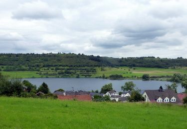
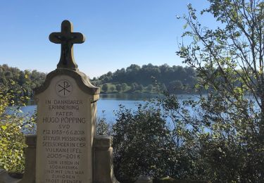
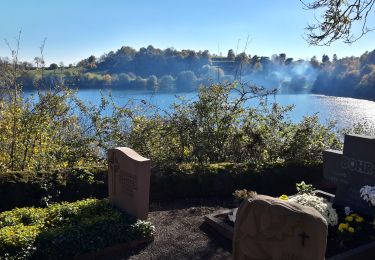
Tocht Te voet van 10,8 km beschikbaar op Rijnland-Palts, Landkreis Vulkaneifel, Schalkenmehren. Deze tocht wordt voorgesteld door SityTrail - itinéraires balisés pédestres.
Trail created by Eifel Tourismus.
Symbol: green:green::MA:white


Te voet
Te voet
Te voet
Te voet
Te voet
Stappen
Te voet
Stappen
Te voet