


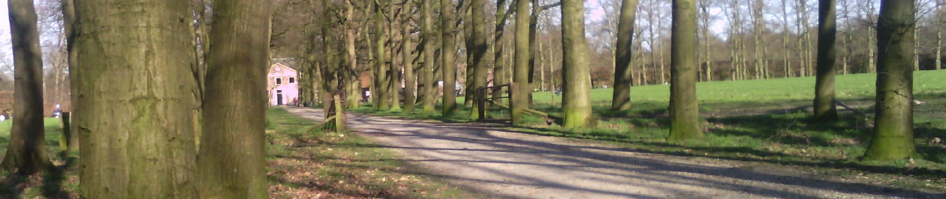
Kernhem

SityTrail - itinéraires balisés pédestres
Tous les sentiers balisés d’Europe GUIDE+
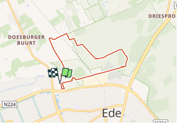

Lengte
5,9 km

Max. hoogte
42 m

Positief hoogteverschil
42 m
Km-Effort
6,5 km

Min. hoogte
14 m

Negatief hoogteverschil
42 m
Boucle
Ja

Markering
Datum van aanmaak :
2022-02-14 14:23:06.942
Laatste wijziging :
2022-02-14 14:23:06.942
1h28
Moeilijkheid : Gemakkelijk

Gratisgps-wandelapplicatie
 SityTrail
IGN / Geografische instituten
SityTrail Plus
De wereld gaat voor u open
Over ons
Tocht Te voet van 5,9 km beschikbaar op Gelderland, Onbekend, Ede. Deze tocht wordt voorgesteld door SityTrail - itinéraires balisés pédestres.
Beschrijving
Symbol: red square with white triangle
Foto's


Plaatsbepaling
Land:
Netherlands
Regio :
Gelderland
Departement/Provincie :
Onbekend
Gemeente :
Ede
Locatie:
Unknown
Vertrek:(Dec)
Vertrek:(UTM)
681857 ; 5770152 (31U) N.
Opmerkingen