


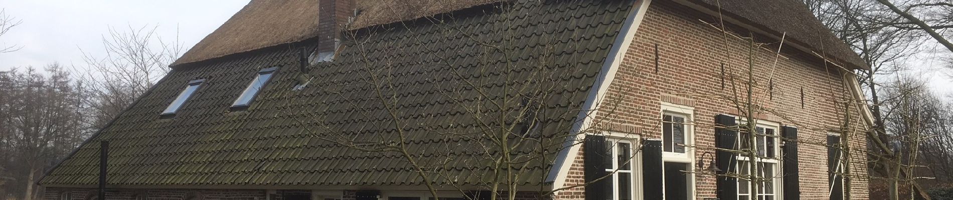
Cuypers op de Kranenburg route

SityTrail - itinéraires balisés pédestres
Tous les sentiers balisés d’Europe GUIDE+

Lengte
12,3 km

Max. hoogte
26 m

Positief hoogteverschil
89 m
Km-Effort
13,5 km

Min. hoogte
11 m

Negatief hoogteverschil
90 m
Boucle
Ja

Markering
Datum van aanmaak :
2022-02-14 14:40:32.921
Laatste wijziging :
2022-02-14 14:40:32.921
3h04
Moeilijkheid : Gemakkelijk

Gratisgps-wandelapplicatie
 SityTrail
IGN / Geografische instituten
SityTrail Plus
De wereld gaat voor u open
Over ons
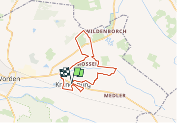
Tocht Te voet van 12,3 km beschikbaar op Gelderland, Onbekend, Bronckhorst. Deze tocht wordt voorgesteld door SityTrail - itinéraires balisés pédestres.
Beschrijving
Trail created by Recreatieschap Achterhoek Liemers.
Foto's


Plaatsbepaling
Land:
Netherlands
Regio :
Gelderland
Departement/Provincie :
Onbekend
Gemeente :
Bronckhorst
Locatie:
Unknown
Vertrek:(Dec)
Vertrek:(UTM)
318949 ; 5775678 (32U) N.
Opmerkingen