Tocht Te voet Laxe - O Camiño dos Faros: Etapa 4 (Laxe-Arou) - Photo

O Camiño dos Faros: Etapa 4 (Laxe-Arou)

Tous les sentiers balisés d’Europe PRO

© OpenStreetMap contributors
Lengte
Lengte
8,5 km
Max. hoogte
Max. hoogte
75 m
Positief hoogteverschil
232 m
Km-Effort
Km-Effort  
11,6 km
Min. hoogte
Min. hoogte
0 m
Negatief hoogteverschil
234 m
Boucle
Boucle
Neen
Markering
Markering
Datum van aanmaak :
2022-02-14 15:54:03.962
Laatste wijziging :
2022-02-14 15:54:03.962

(0 Bericht)

Te voet
Te voet
2h37
Moeilijkheid : Gemakkelijk

Scan deze QR-code om de tocht te openen in de SityTrail-applicatie

Gratisgps-wandelapplicatie

Logo SityTrail SityTrail

IGN / Geografische instituten

SityTrail uit de App Store downloaden SityTrail uit Google Play downloaden

Logo SityTrail SityTrail World

De wereld gaat voor u open

SityTrail uit de App Store downloaden SityTrail uit Google Play downloaden SityTrail op Huawei AppGallery downloaden

Over ons

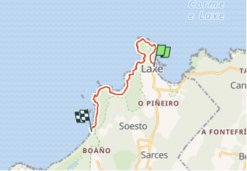
Tocht Te voet van 8,5 km beschikbaar op Galicië, A Coruña, Laxe. Deze tocht wordt voorgesteld door SityTrail - itinéraires balisés pédestres.

Beschrijving

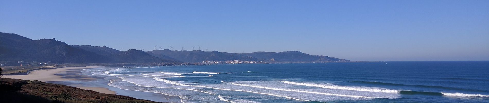
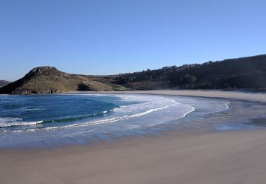
O Camiño dos Faros es una ruta de senderismo de 200 kilómetros que une Malpica con Finisterre por el borde del mar en A Costa da Morte (Galicia-España)

Website: http://www.caminodosfaros.com

Foto's

Plaatsbepaling

Land:
Spain
Regio :
Galicië
Departement/Provincie :
A Coruña
Gemeente :
Laxe
Locatie:
Laxe
Vertrek:(UTM)
499594 ; 4785526 (29T) N.

Wandeltochten in de omgeving

Tocht Te voet Laxe - Laxe-Traba - Photo
Te voet
PRO

Te voet

Gemakkelijk
Laxe, Galicië, A Coruña, Spain
3,4 km | 4 km-effort
55min
Neen
Tocht Te voet Ponteceso - O Camiño dos Faros: Etapa 2 (Niñóns-Ponteceso) - Photo
Te voet
PRO

Te voet

Gemakkelijk
Ponteceso, Galicië, A Coruña, Spain
9,2 km | 11,9 km-effort
2h 41min
Neen


Sluiten
Mijn abonnementen