


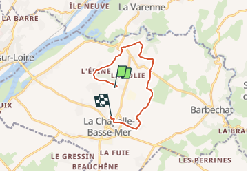

10,5 km | 12,4 km-effort

Tous les sentiers balisés d’Europe PRO


Gratisgps-wandelapplicatie
 SityTrail
IGN / Geografische instituten
SityTrail World
De wereld gaat voor u open
Tocht Te voet van 9,3 km beschikbaar op Pays de la Loire, Loire-Atlantique, Divatte-sur-Loire. Deze tocht wordt voorgesteld door SityTrail - itinéraires balisés pédestres.
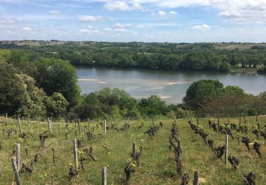
Entre Vignes et patrimoine
Website: https://www.levignobledenantes-tourisme.com/circuit-et-randonnee/boucle-circuit-de-la-haute-chapelle/
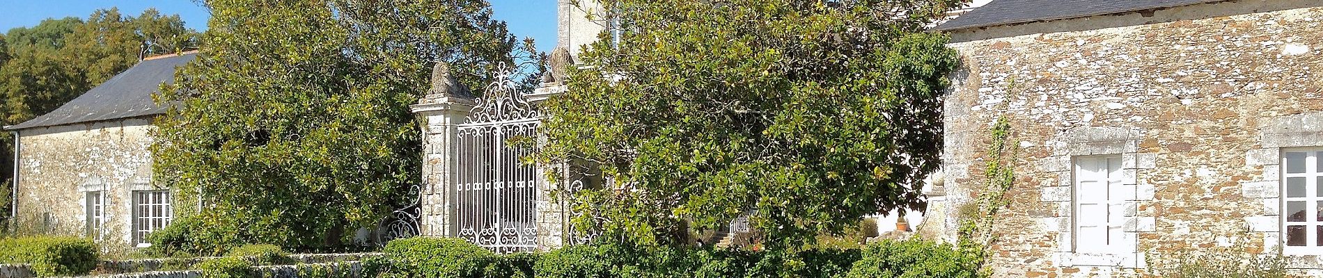
 - Photo 1")
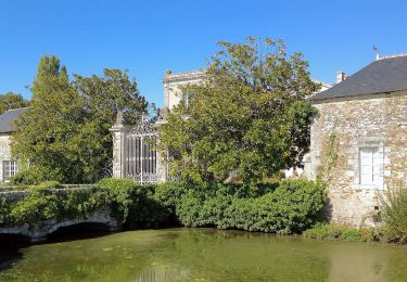
 - Photo 2")
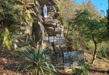
 - Photo 3")
 - Photo 4")
Te voet

Stappen
Stappen
Stappen
Stappen

Mountainbike
Stappen
Stappen
Stappen