


Turvei E4

SityTrail - itinéraires balisés pédestres
Tous les sentiers balisés d’Europe GUIDE+

Lengte
5,9 km

Max. hoogte
173 m

Positief hoogteverschil
158 m
Km-Effort
7,7 km

Min. hoogte
62 m

Negatief hoogteverschil
55 m
Boucle
Neen

Markering
Datum van aanmaak :
2022-02-21 10:18:19.984
Laatste wijziging :
2022-03-08 16:52:54.63
1h44
Moeilijkheid : Gemakkelijk

Gratisgps-wandelapplicatie
 SityTrail
IGN / Geografische instituten
SityTrail Plus
De wereld gaat voor u open
Over ons
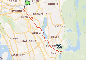
Tocht Te voet van 5,9 km beschikbaar op Oslo, Onbekend, Onbekend. Deze tocht wordt voorgesteld door SityTrail - itinéraires balisés pédestres.
Beschrijving
Trail created by Oslo kommune Bymiljøetaten.
Symbol: signposted
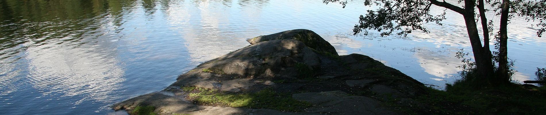
Foto's


Plaatsbepaling
Land:
Norway
Regio :
Oslo
Departement/Provincie :
Onbekend
Gemeente :
Onbekend
Locatie:
Østensjø
Vertrek:(Dec)
Vertrek:(UTM)
600691 ; 6642103 (32V) N.
Opmerkingen