


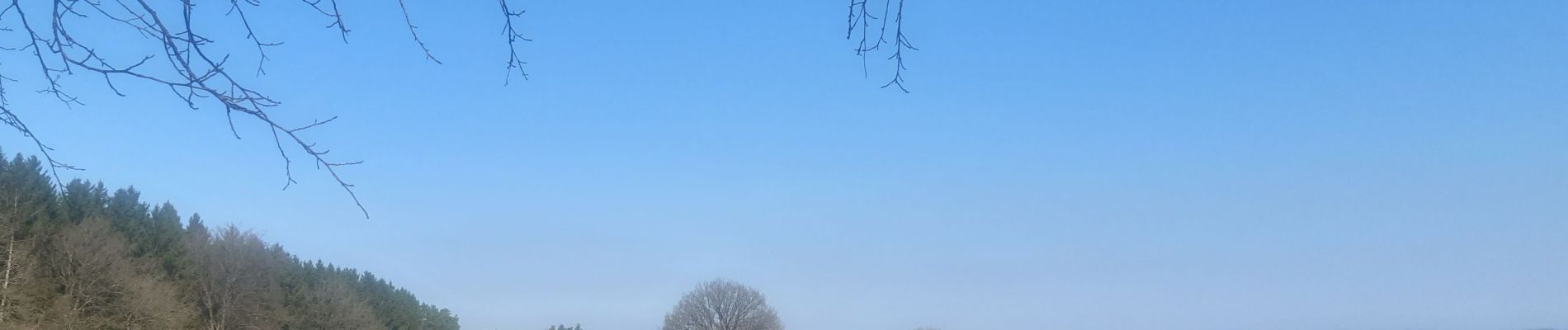
bansion - les digues via golf et chawion, retour via chemin des arbres remarquables

stef789
Gebruiker GUIDE
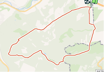

Lengte
10,7 km

Max. hoogte
372 m

Positief hoogteverschil
227 m
Km-Effort
13,7 km

Min. hoogte
221 m

Negatief hoogteverschil
231 m
Boucle
Ja
Datum van aanmaak :
2022-03-27 08:07:08.434
Laatste wijziging :
2022-03-27 10:45:38.986
2h37
Moeilijkheid : Gemakkelijk

Gratisgps-wandelapplicatie
 SityTrail
IGN / Geografische instituten
SityTrail Plus
De wereld gaat voor u open
Over ons
Tocht Stappen van 10,7 km beschikbaar op Wallonië, Luik, Theux. Deze tocht wordt voorgesteld door stef789.
Foto's


Plaatsbepaling
Land:
Belgium
Regio :
Wallonië
Departement/Provincie :
Luik
Gemeente :
Theux
Locatie:
Polleur
Vertrek:(Dec)
Vertrek:(UTM)
704131 ; 5600962 (31U) N.
Opmerkingen