


Fontaine l'Abbé

werth
Gebruiker
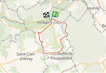

Lengte
10,1 km

Max. hoogte
166 m

Positief hoogteverschil
146 m
Km-Effort
12,1 km

Min. hoogte
85 m

Negatief hoogteverschil
146 m
Boucle
Ja
Datum van aanmaak :
2022-03-29 06:53:41.968
Laatste wijziging :
2022-03-29 09:57:44.297
3h03
Moeilijkheid : Medium

Gratisgps-wandelapplicatie
 SityTrail
IGN / Geografische instituten
SityTrail Plus
De wereld gaat voor u open
Over ons
Tocht Stappen van 10,1 km beschikbaar op Normandië, Eure, Fontaine-l'Abbé. Deze tocht wordt voorgesteld door werth.
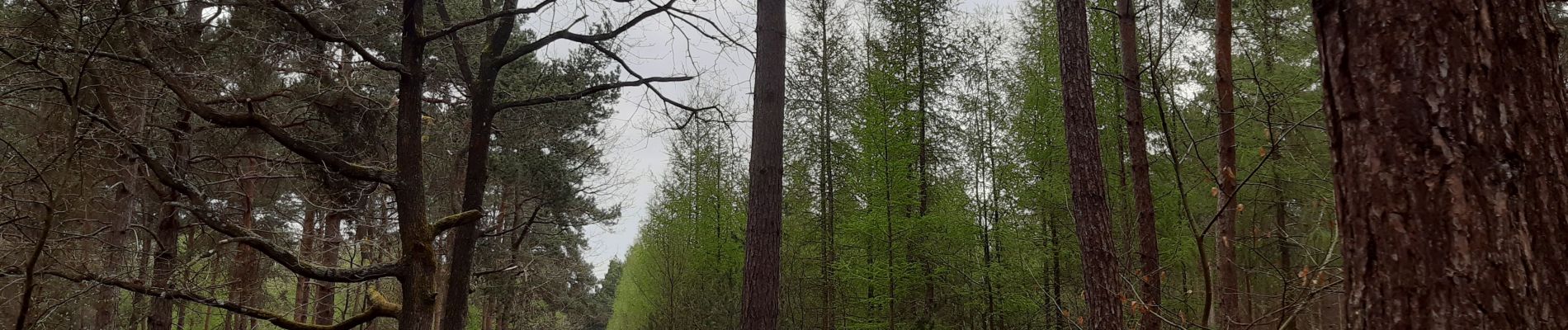
Foto's


Plaatsbepaling
Land:
France
Regio :
Normandië
Departement/Provincie :
Eure
Gemeente :
Fontaine-l'Abbé
Locatie:
Unknown
Vertrek:(Dec)
Vertrek:(UTM)
331569 ; 5440270 (31U) N.
Opmerkingen