


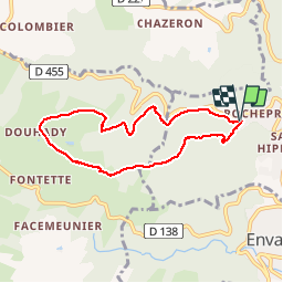
Boucle de Rochepradière en passant par Douhady

Gegetop
Gebruiker

Lengte
6,7 km

Max. hoogte
739 m

Positief hoogteverschil
233 m
Km-Effort
9,7 km

Min. hoogte
513 m

Negatief hoogteverschil
229 m
Boucle
Ja
Datum van aanmaak :
2014-12-10 00:00:00.0
Laatste wijziging :
2014-12-10 00:00:00.0
2h06
Moeilijkheid : Gemakkelijk

Gratisgps-wandelapplicatie
 SityTrail
IGN / Geografische instituten
SityTrail Plus
De wereld gaat voor u open
Over ons
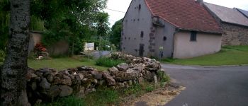
Tocht Stappen van 6,7 km beschikbaar op Auvergne-Rhône-Alpes, Puy-de-Dôme, Châtel-Guyon. Deze tocht wordt voorgesteld door Gegetop.
Beschrijving
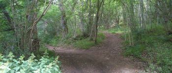
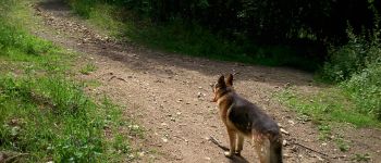
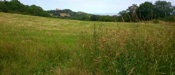
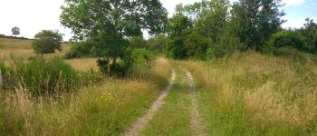
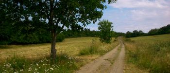
Balade facile la plupart en sous bois à faire en famille.
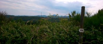
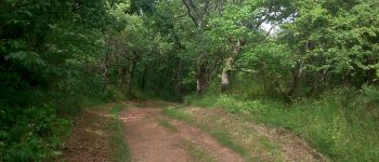
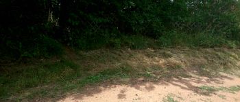
Foto's


Plaatsbepaling
Land:
France
Regio :
Auvergne-Rhône-Alpes
Departement/Provincie :
Puy-de-Dôme
Gemeente :
Châtel-Guyon
Locatie:
Unknown
Vertrek:(Dec)
Vertrek:(UTM)
503565 ; 5084357 (31T) N.
Opmerkingen
Excellent. !