Tocht Stappen Le Faouët - Le Faouët - Les cahots de l'Elle  - Photo

Le Faouët - Les cahots de l'Elle

 MichelRando7656
MichelRando7656

Gebruiker

© OpenStreetMap contributors
Lengte
Lengte
7,2 km
Max. hoogte
Max. hoogte
174 m
Positief hoogteverschil
155 m
Km-Effort
Km-Effort  
9,3 km
Min. hoogte
Min. hoogte
84 m
Negatief hoogteverschil
157 m
Boucle
Boucle
Ja
Datum van aanmaak :
2022-04-16 11:44:38.318
Laatste wijziging :
2022-04-16 14:47:40.54

(0 Bericht)

Stappen
Stappen
2h55
Moeilijkheid : Medium

Scan deze QR-code om de tocht te openen in de SityTrail-applicatie

Gratisgps-wandelapplicatie

Logo SityTrail SityTrail

IGN / Geografische instituten

SityTrail uit de App Store downloaden SityTrail uit Google Play downloaden

Logo SityTrail SityTrail Plus

De wereld gaat voor u open

SityTrail uit de App Store downloaden SityTrail uit Google Play downloaden SityTrail op Huawei AppGallery downloaden

Over ons

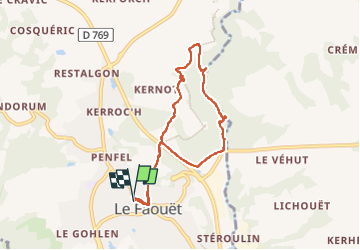
Tocht Stappen van 7,2 km beschikbaar op Bretagne, Morbihan, Le Faouët. Deze tocht wordt voorgesteld door MichelRando7656.

Beschrijving

Un peu de goudron pour le début et la fin de la randonnée.
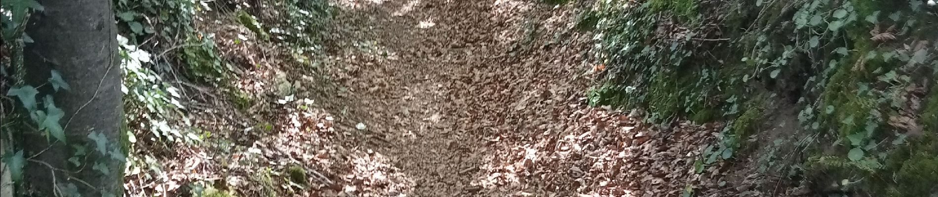
Entre les deux, de superbes sentiers encaissés et sous les grands arbres.
Une belle balade le long de l'Éllé , assez turbulente par un très beau soleil et une fraîcheur agréable sous les frondaisons.

Hoogteprofiel

Foto's

Plaatsbepaling

Land:
France
Regio :
Bretagne
Departement/Provincie :
Morbihan
Gemeente :
Le Faouët
Locatie:
Unknown
Vertrek:(UTM)
463298 ; 5320179 (30U) N.


Sluiten
Mijn abonnementen