


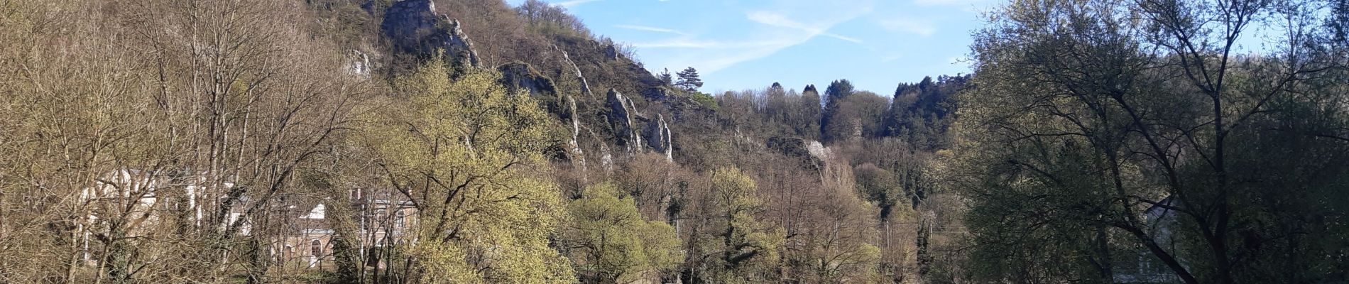
pont de sçay . oneux . comblain-au-pont . tour st Martin . roches noires . pic Napoléon. pont sçay

stef789
Gebruiker GUIDE
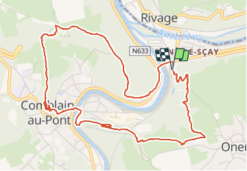

Lengte
6,1 km

Max. hoogte
209 m

Positief hoogteverschil
205 m
Km-Effort
8,8 km

Min. hoogte
96 m

Negatief hoogteverschil
210 m
Boucle
Ja
Datum van aanmaak :
2022-04-18 12:46:49.582
Laatste wijziging :
2022-04-18 15:39:05.91
2h51
Moeilijkheid : Medium

Gratisgps-wandelapplicatie
 SityTrail
IGN / Geografische instituten
SityTrail Plus
De wereld gaat voor u open
Over ons
Tocht Stappen van 6,1 km beschikbaar op Wallonië, Luik, Comblain-au-Pont. Deze tocht wordt voorgesteld door stef789.
Foto's


22 fotos in totaal. Klik op een foto om ze allemaal in de galerij weer te geven.
Plaatsbepaling
Land:
Belgium
Regio :
Wallonië
Departement/Provincie :
Luik
Gemeente :
Comblain-au-Pont
Locatie:
Unknown
Vertrek:(Dec)
Vertrek:(UTM)
683782 ; 5595108 (31U) N.
Opmerkingen