


St Roch . Spixhe . Jevoumont . Hodbomont . vallee Wayot . Theux . St Roch

stef789
Gebruiker GUIDE


Lengte
8,6 km

Max. hoogte
296 m

Positief hoogteverschil
181 m
Km-Effort
11 km

Min. hoogte
162 m

Negatief hoogteverschil
178 m
Boucle
Ja
Datum van aanmaak :
2022-04-21 10:26:25.823
Laatste wijziging :
2022-04-21 12:49:04.561
2h21
Moeilijkheid : Gemakkelijk

Gratisgps-wandelapplicatie
 SityTrail
IGN / Geografische instituten
SityTrail Plus
De wereld gaat voor u open
Over ons
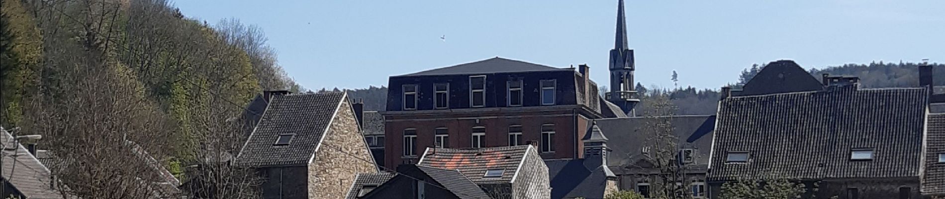
Tocht Stappen van 8,6 km beschikbaar op Wallonië, Luik, Theux. Deze tocht wordt voorgesteld door stef789.
Foto's


Plaatsbepaling
Land:
Belgium
Regio :
Wallonië
Departement/Provincie :
Luik
Gemeente :
Theux
Locatie:
Unknown
Vertrek:(Dec)
Vertrek:(UTM)
699891 ; 5601140 (31U) N.
Opmerkingen