


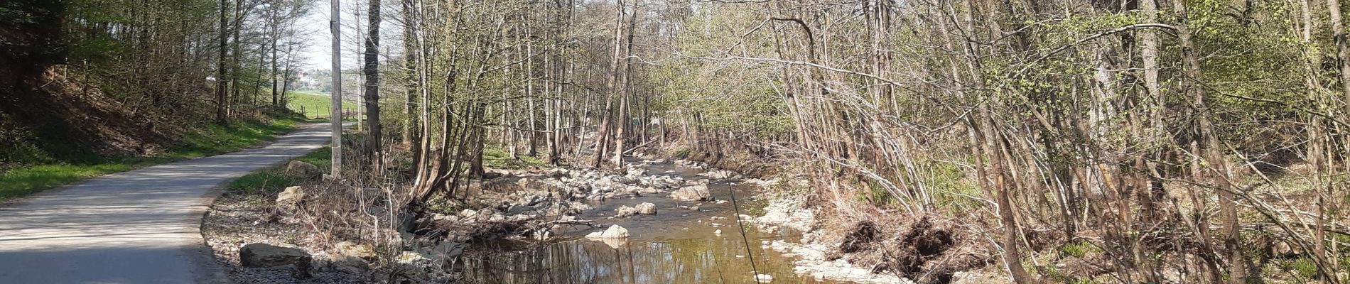
neufmarteau . trou colas . royonpré . neufmarteau

stef789
Gebruiker GUIDE
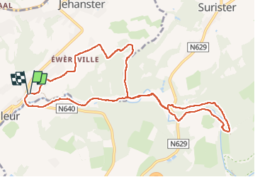

Lengte
10,4 km

Max. hoogte
340 m

Positief hoogteverschil
204 m
Km-Effort
13,1 km

Min. hoogte
224 m

Negatief hoogteverschil
206 m
Boucle
Ja
Datum van aanmaak :
2022-04-24 08:45:54.171
Laatste wijziging :
2022-04-24 11:13:39.115
2h26
Moeilijkheid : Gemakkelijk

Gratisgps-wandelapplicatie
 SityTrail
IGN / Geografische instituten
SityTrail Plus
De wereld gaat voor u open
Over ons
Tocht Stappen van 10,4 km beschikbaar op Wallonië, Luik, Theux. Deze tocht wordt voorgesteld door stef789.
Foto's


Plaatsbepaling
Land:
Belgium
Regio :
Wallonië
Departement/Provincie :
Luik
Gemeente :
Theux
Locatie:
Polleur
Vertrek:(Dec)
Vertrek:(UTM)
704631 ; 5602932 (31U) N.
Opmerkingen