


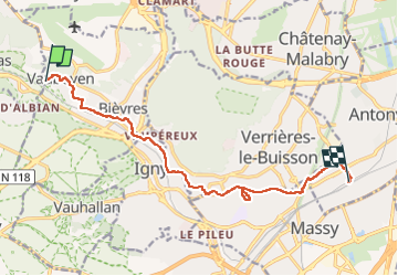
En descendant la Bièvre

canal
Gebruiker

Lengte
11,5 km

Max. hoogte
142 m

Positief hoogteverschil
118 m
Km-Effort
13,1 km

Min. hoogte
52 m

Negatief hoogteverschil
133 m
Boucle
Neen
Datum van aanmaak :
2022-05-02 08:44:32.738
Laatste wijziging :
2022-05-02 13:22:14.579
4h37
Moeilijkheid : Moeilijk

Gratisgps-wandelapplicatie
 SityTrail
IGN / Geografische instituten
SityTrail Plus
De wereld gaat voor u open
Over ons
Tocht Stappen van 11,5 km beschikbaar op Île-de-France, Essonne, Bièvres. Deze tocht wordt voorgesteld door canal.
Beschrijving
Les parties à l'air libre de la Bièvre
Plaatsbepaling
Land:
France
Regio :
Île-de-France
Departement/Provincie :
Essonne
Gemeente :
Bièvres
Locatie:
Unknown
Vertrek:(Dec)
Vertrek:(UTM)
440708 ; 5401133 (31U) N.
Opmerkingen