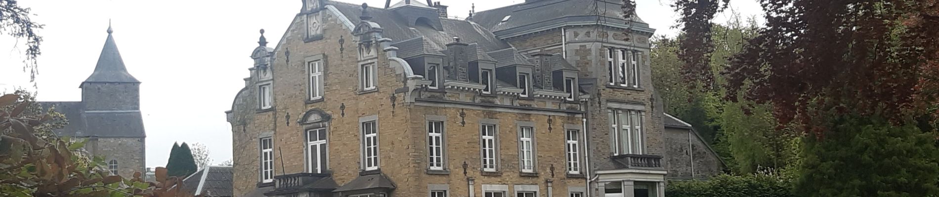
Hody . drive d Anthisnes . carrière . Targnon . Hestreux . Fond de Sart . Hody

stef789
Gebruiker GUIDE
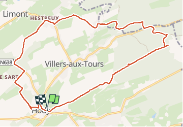

Lengte
11,5 km

Max. hoogte
300 m

Positief hoogteverschil
206 m
Km-Effort
14,2 km

Min. hoogte
193 m

Negatief hoogteverschil
205 m
Boucle
Ja
Datum van aanmaak :
2022-05-07 09:46:57.974
Laatste wijziging :
2022-05-07 13:13:42.01
3h06
Moeilijkheid : Gemakkelijk

Gratisgps-wandelapplicatie
 SityTrail
IGN / Geografische instituten
SityTrail Plus
De wereld gaat voor u open
Over ons
Tocht Stappen van 11,5 km beschikbaar op Wallonië, Luik, Anthisnes. Deze tocht wordt voorgesteld door stef789.
Foto's


Plaatsbepaling
Land:
Belgium
Regio :
Wallonië
Departement/Provincie :
Luik
Gemeente :
Anthisnes
Locatie:
Unknown
Vertrek:(Dec)
Vertrek:(UTM)
677570 ; 5595759 (31U) N.
Opmerkingen