


2022-05-13_09h34m16_2022-05-13_767568601_Dolmen de Mias Circuit à partir de Lussas

Linerou
Gebruiker

Lengte
14,6 km

Max. hoogte
344 m

Positief hoogteverschil
198 m
Km-Effort
17,3 km

Min. hoogte
261 m

Negatief hoogteverschil
198 m
Boucle
Ja
Datum van aanmaak :
2022-05-13 07:34:16.813
Laatste wijziging :
2023-12-31 10:51:38.534
3h55
Moeilijkheid : Moeilijk

Gratisgps-wandelapplicatie
 SityTrail
IGN / Geografische instituten
SityTrail Plus
De wereld gaat voor u open
Over ons
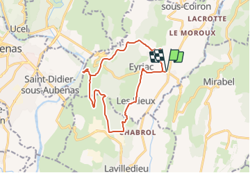
Tocht Stappen van 14,6 km beschikbaar op Auvergne-Rhône-Alpes, Ardèche, Lussas. Deze tocht wordt voorgesteld door Linerou.
Plaatsbepaling
Land:
France
Regio :
Auvergne-Rhône-Alpes
Departement/Provincie :
Ardèche
Gemeente :
Lussas
Locatie:
Unknown
Vertrek:(Dec)
Vertrek:(UTM)
616816 ; 4940909 (31T) N.
Opmerkingen