


essai5

Rémy Isenmann
Gebruiker
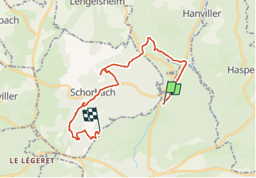

Lengte
13 km

Max. hoogte
405 m

Positief hoogteverschil
312 m
Km-Effort
16,9 km

Min. hoogte
268 m

Negatief hoogteverschil
253 m
Boucle
Neen
Datum van aanmaak :
2022-05-26 07:57:38.878
Laatste wijziging :
2022-05-26 16:36:09.388
3h18
Moeilijkheid : Gemakkelijk

Gratisgps-wandelapplicatie
 SityTrail
IGN / Geografische instituten
SityTrail Plus
De wereld gaat voor u open
Over ons
Tocht Paardrijden van 13 km beschikbaar op Grand Est, Moselle, Bitche. Deze tocht wordt voorgesteld door Rémy Isenmann.
Beschrijving
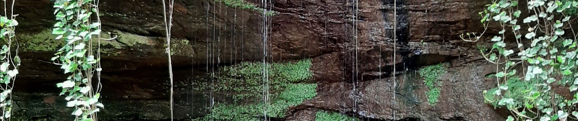
bitche
Foto's


Plaatsbepaling
Land:
France
Regio :
Grand Est
Departement/Provincie :
Moselle
Gemeente :
Bitche
Locatie:
Unknown
Vertrek:(Dec)
Vertrek:(UTM)
386186 ; 5437081 (32U) N.
Opmerkingen